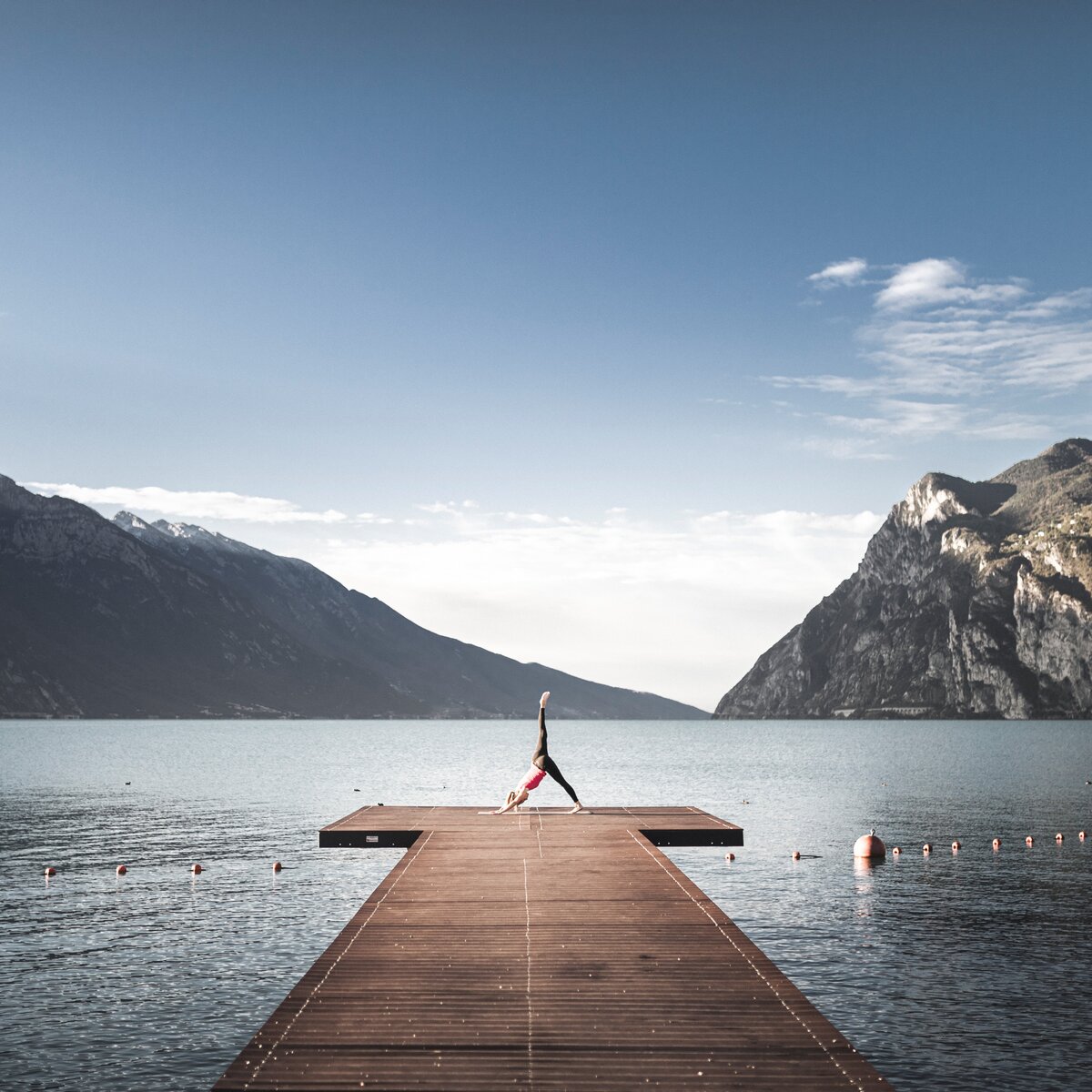
Ledro Land Art is an environmental art park immersed in the pinewood of Pur, one of the green lungs of the Valle di Ledro, where artistic creativity meets nature.
Along the suggestive path that runs along the Assat torrent and leads to Malga Cita, the landscape acts as keeper of the site-specific installations that are created every year during summer season.
Trees in love, stone cows, giant violins, hands rising from the ground, swing woods, metal snails… These are some of the wonders to be seen in Ledro Land Art.


For more information on routes, services (guides, mountain huts, shops etc.) and hiking friendly accommodation: Garda Trentino - +39 0464 554444
The telephone number for the emergency services is 112.
The information on this chart is subject to inevitable variations, so this means that none of the indications are absolute. It is not entirely possible to avoid giving inexact or imprecise information, given how quickly environmental and weather conditions can change. For this reason we decline any responsibility for changes which the user may encounter. In any case, the hiker is advised to check the conditions of the places, environment and weather before setting out.
Follow the Ledro Land Art path through the wood of Pur. At the end of the path turn into the asphalt road and walk to Malga Cita. Return to the car park along the asphalt road.
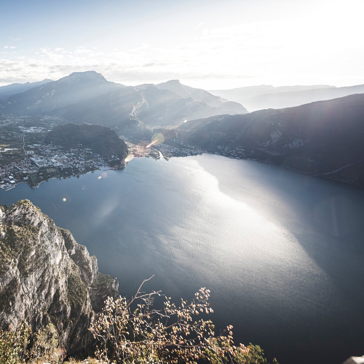
Valle di Ledro is connected to Riva del Garda by the intercity bus line 214 (Riva-Valle di Ledro-Storo). Bus stop: Molina di Ledro and then on foot to Pur for about 3 km.
Up-to-date information on timetables and routes.
Exit the A22 motorway at Rovereto Sud – Lago di Garda. Follow the SS240 della Val di Ledro to Molina di Ledro. At the Pile-Dwelling Museum turn left towards Pur. At the beach turn left and follow the signposts to Ledro Land Art.
Find out how to reach Garda Trentino.
Car park at the beginning of Ledro Land Art.
This excursion is quite simple and presents no particular difficulty. However, we still recommend you to wear suitable footwear, a hat, sun screen and sunglasses. And be sure to bring water!


 , North Lake Garda Trentino")
, Garda Trentino")