A beautiful circuit over Passo della Morte and along the Forra del Limarò.
Signage: 1805. Comano Banale Trail-Tour
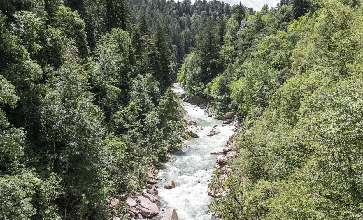
Starting in Ponte Arche, take minor roads via the villages of Godenzo and Comano towards the crossing from Comano Terme to Sarche, which is called Passo della Morte. This is by no means as fearsome as its name suggests; for much of the way you ride on normal forest tracks. Only the last part of the descent is steep and narrow and you will need to have good command of your bike. Once on the cycle path, the route is relatively level as it returns to Ponte Arche, high above the Forra del Limarò gorge. You can’t see into the gorge itself, but the imposing rock faces are a constant companion. After about 700 metres on what is unfortunately a busy road, you descend a short trail and cross the Sarca on an impressive bridge. On the other side of the valley, ascend to Villa Banale and along beautiful forest paths that take you back to the start.


For more information on routes, bike services (rentals, workshops, shops) and cycling friendly accommodation: Garda Trentino - +39 0464 554444
On the way back, it's worth taking a break from the tour to walk along the Forra del Limarò trail and reach the viewpoints on the river Sarca (10 walking minutes from the pedestrian and cycle bridge).
ITRS - International Trail Rating System
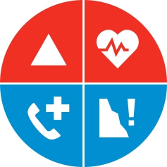
The ITRS is an objective way to assess trails and routes from a biker’s perspective, evaluating four aspects:
Discover more about the ITRS system and check the classification of this tour in the photo gallery.
Safety Tips
This information is subject to inevitable variations, so none of these indications are absolute. It is not entirely possible to avoid giving inexact or imprecise information, given how quickly environmental and weather conditions can change. For this reason, we decline any responsibility for changes which the user may encounter. In any case, it is advisable to check environment and weather conditions before setting out.
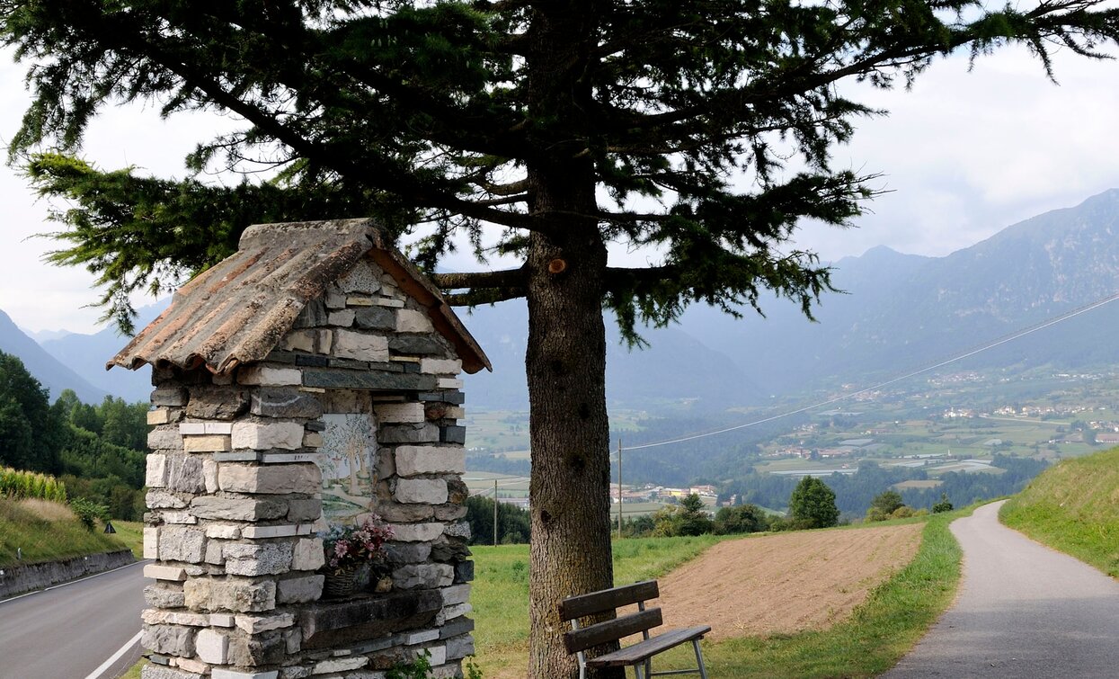
After the departure from Ponte Arche, an uphill road with little traffic takes to the village of Comano, where a beautiful view on Val d’Ambiez and Brenta Dolomites can be enjoyed. Right outside the village a dirt uphill road departs and takes to Passo della Morte via a gentle ascent offering an uninterrupted view of Comano valley.
The view from Passo della Morte is not particularly scenic by itself. Here and there, along the gravel road, the biker's gaze falls on the gorge of river Sarca. Emotions definitely get the better a little further on, when, once inside the forest, the tour leads down into the gorge below, getting therefore steeper and more technically demanding.
"Bicycle path" is a definition that may conceive a sense of boredom, but this absolutely isn't the case of this old road running along the gorge that river Sarca crosses in this place known as "Limarò". This road had been laboriously excavated during the 1920s and, after a sequence of tunnels were digged to shorten the main road destined to motor vehicles, this road was converted into a bicycle path. Thanks to the sensational glimpses of the depths of Gorge of Limarò it provides, this bicycle path may certainly be considered as one of the most attractive in Europe. At approximately halfway bikers are given a chance to refresh with the local specialties served by Maso Limarò, an ancient building once used as farmstead, recently restored and now operating as Agritur (farmhouse). At the end of the bicycle path, bikers shall keep pedaling along the main road, take a trail on the right, and descend a steep downhill road leading to Ponte Balandin, a bridge dating back to the Roman era.
The gorge of Limarò/Sarca can be nowadays traversed on a new steel bridge, approximately 100 meters away from the Roman one. An uphill stretch along a quite steep trail towards Villa Banale is followed by a downhill stretch reaching Ponte Arche via a pleasant, narrow road that crosses the forest and offers beatiful glimpses on Comano valley.
The area around Comano is connected by the intercity bus lines 211 (Riva del Garda - Tenno - Fiavè - Ponte Arche) and 201 (Trento - Ponte Arche - Campiglio – Tione) to the other places in Garda Trentino.
Up-to-date information on timetables and routes.
Parking in Piazza Mercato in Ponte Arche and near the thermal park (Via Cesare Battisti).
Riding your bike requires specific clothing and equipment, even for relatively short and easy trips. It is always better to be prepared… e.g. for bad weather or a drop your energy levels. The unexpected things also make up a part of the fun!
Remember to throughly evaluate the type of route you plan to do, the locations you plan to cross and the current season. Has it been raining? Attention: The paths may be slippery and require more caution.
What do I need to bring on my bike tour?
It is always advised to let someone know where you plan to go and how long you expect to be.
Emergency telephone number 112.

