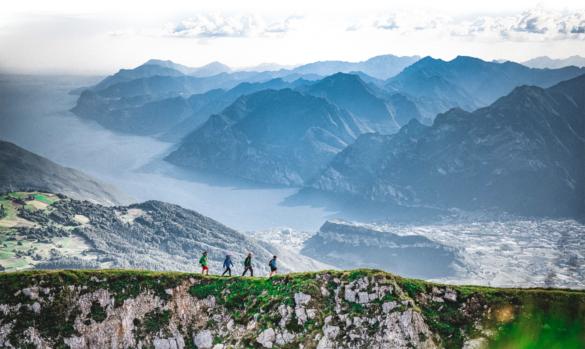
The Torbole-Sarche pedestrian and cycle path is one of the best-loved trails in Garda Trentino. An easy route through natural surroundings it is perfect for a relaxing bicycle trip
The Torbole - Sarche cycle path follows the River Sarca upstream, linking the lake shore with the Sarca Valley. For mountain bike lovers, it is the best way to get to the start of the many mtb tours and for all the others it is a lovely itinerary without any hazards.
But watch out, this trail is also very popular with walkers and runners, making it the busiest cycle path in Trentino.
The beauty of the landscape, the mild climate which means the cycle path is open all year round, and the fact that it allows you to get from one town in Garda Trentino to another in total safety are just some of the reasons why you can't afford to miss this trail.
Along the way you can take short detours to visit a number of different attractions, points of interest, producers and restaurants who will win you over with the flavours of the upper lake. It's an excellent way to discover the history and traditions of Garda Trentino!
You’ve already picked your cycling route—now all you need is the right support. Discover all the Bike Specialists in Garda Trentino: rentals, repair shops, and dedicated bike stores are ready to welcome you right here.
Don't forget to bring your camera: with lakes, castles, woods and orchards, this is an area which sums up all the attractions of Garda Trentino!
Safety Tips
This information is subject to inevitable variations, so none of these indications are absolute. It is not entirely possible to avoid giving inexact or imprecise information, given how quickly environmental and weather conditions can change. For this reason, we decline any responsibility for changes which the user may encounter. In any case, it is advisable to check environment and weather conditions before setting out.
The Torbole-Sarche cycle path starts on the shores of Lake Garda near the mouth of the River Sarca where the trails from Riva del Garda and Mori meet: the route is well signposted on the right hand side of the river. You head north in the direction of Arco along the River Sarca which takes you safely under the road bridge without having to leave the cycle path. For over 5 km you cycle through pleasant countryside until you come to Arco.
Cycle through Arco and then go back onto the cycle path at the road bridge over the Sarca. From this point, the track heads upstream again on the right hand side of the River Sarca for about 500 metres, then turns right onto the pedestrian and cycle path at the camp site which takes you to the other side of the river near the town park; continue along the river bank and you will come across some picnic areas where you can always stop off for a rest. After about 4 km you come to the town of Ceniga. The trail now runs along the mixed traffic main road which takes you from Ceniga to the small town of Dro. Follow directions to the residential area on the northern side of Dro where you take up the cycle path for about 850 m which passes under the main road and takes you to the crossroads with the minor road which leads to what was once the Fies hydroelectric power plant. Now continue along quiet country lanes to the little hamlet of Pietramurata, where you join the cycle path again which takes you to the town of Sarche where the cycle path ends.
The towns in Garda Trentino - Riva del Garda, Torbole sul Garda and Arco – are connected by several urban and intercity bus lines which will take you to the starting point or in the immediate surroundings.
For up-to-the-minute information on timetables and routes
You can also get to Riva del Garda and Torbole sul Garda by the public ferry service.
Getting to northern lake Garda / Garda Trentino
Free parking in Torbole in the Busatte Park.
More Pay parking at the Panorama parking area, in Via Strada Granda or and along the lakefront Lungolago Conca d'Oro
Riding your bike requires specific clothing and equipment, even for relatively short and easy trips. It is always better to be prepared… e.g. for bad weather or a sudden drop in your energy levels. The unexpected things are part of the fun!
Remember to thoroughly evaluate the type of route you plan on doing, the locations you intend to cross and the current season. Has it been raining? Attention: The paths may be slippery and require more caution.
What do I need to bring on my bike tour?
It is always advised to let someone know where you plan to go and how long you expect to be.
Emergency telephone number 112.


Specific measures have been planned to ensure the safety of cyclists and pedestrians along the diversion: illuminated pedestrian crossings, a designated bike lane, and speed limits. The works are managed by the Road Management Service, the Mountain Basins Service, the Employment Support and Environmental Enhancement Service, and the contracted company in charge of the operations.

