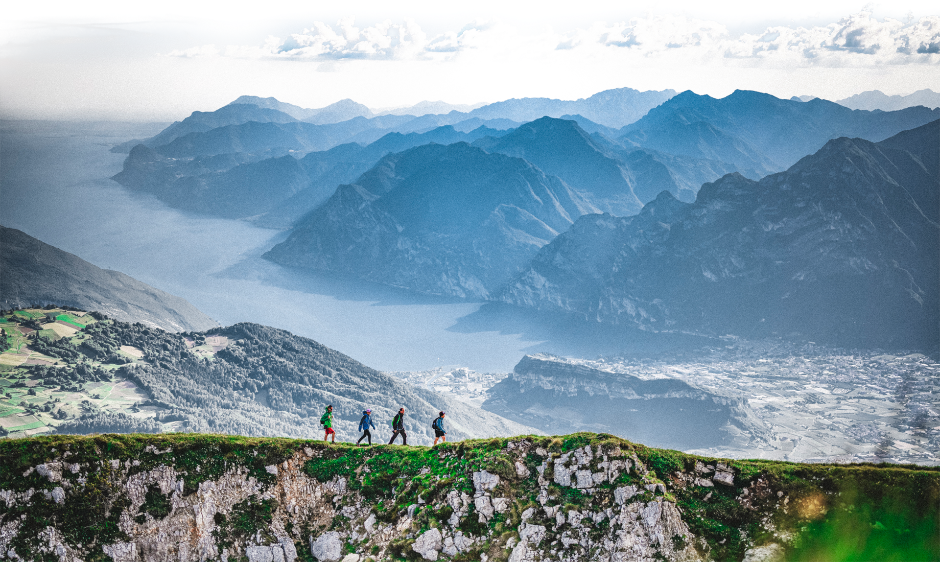
This information is subject to inevitable variations, so none of these indications are absolute. It is not entirely possible to avoid giving inexact or imprecise information, given how quickly environmental and weather conditions can change. For this reason, we decline any responsibility for changes which the user may encounter. In any case, it is advisable to check environment and weather conditions before setting out.
Remember to thoroughly evaluate the type of route you plan on doing, the locations you intend to cross and the current season. Has it been raining? Attention: The paths may be slippery and require more caution.
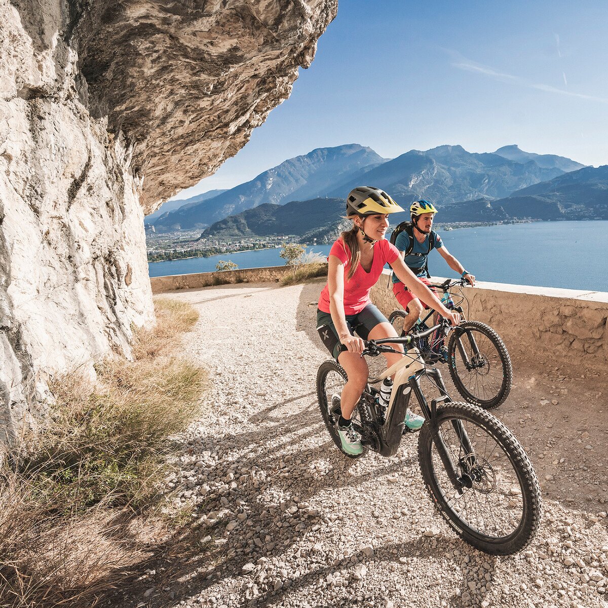
What do I need to bring on my bike tour?
An adequate water supply according to your needs (considering temperature, possibility of refuelling and duration of the route)
Plenty of snacks (for example, dried fruit or energy bars)
Waterproof / Windproof jacket
A spare top / spare socks (Descending in a sweaty garment, will make you cold).
Suncream
Sunglasses
Bike gloves/mitts
Map or GPS device
Bike lights: best placed on your helmet or handlebars. (It is always best to be prepared)
Bike repair kit for punctures and mechanical breakdowns
First aid kit
Emergency whistle
It is always advised to let someone know where you plan to go and how long you expect to be.
Emergency telephone number 112.

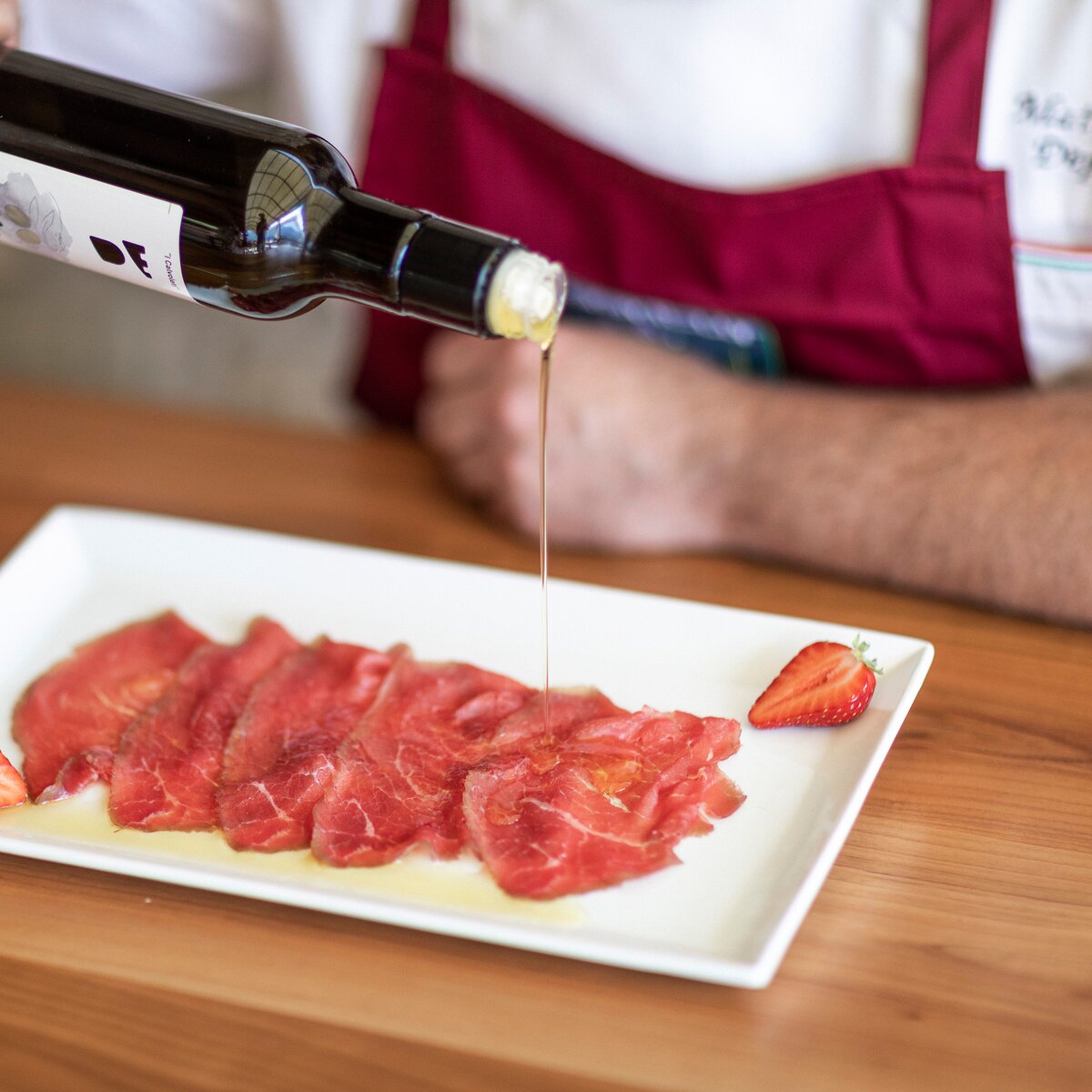
 | © Archivio APT Garda Trentino (ph. Vuilleumier) , Garda Trentino")

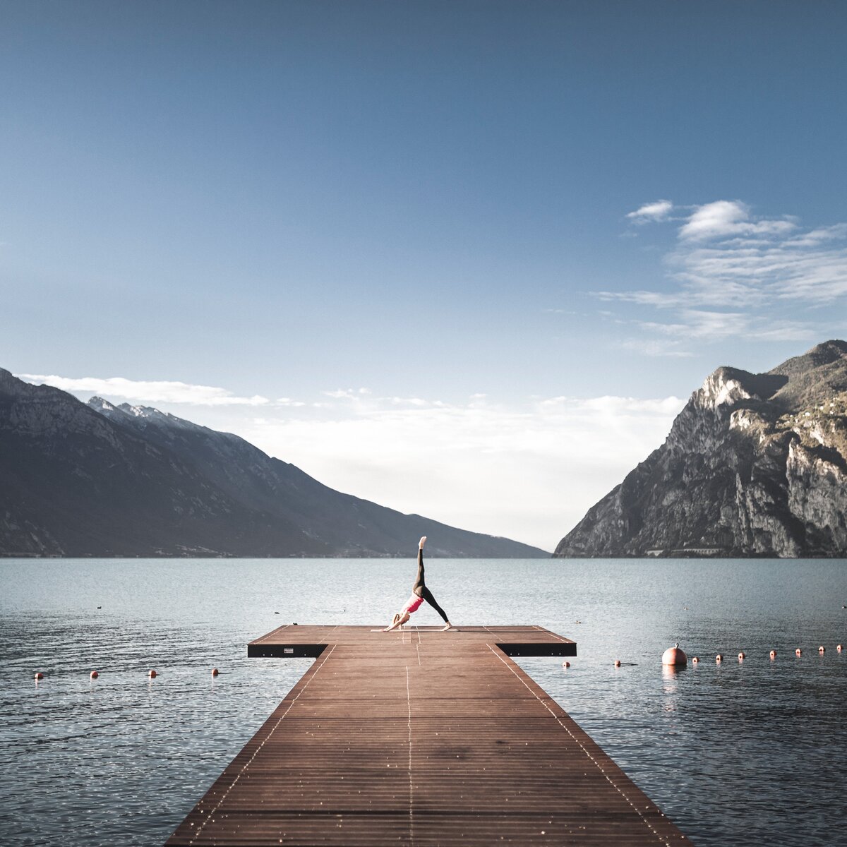
 | © Archivio APT Garda Trentino (ph. R. Vuilleumier), Garda Trentino")

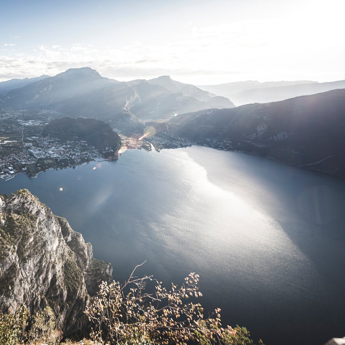
 , North Lake Garda Trentino")