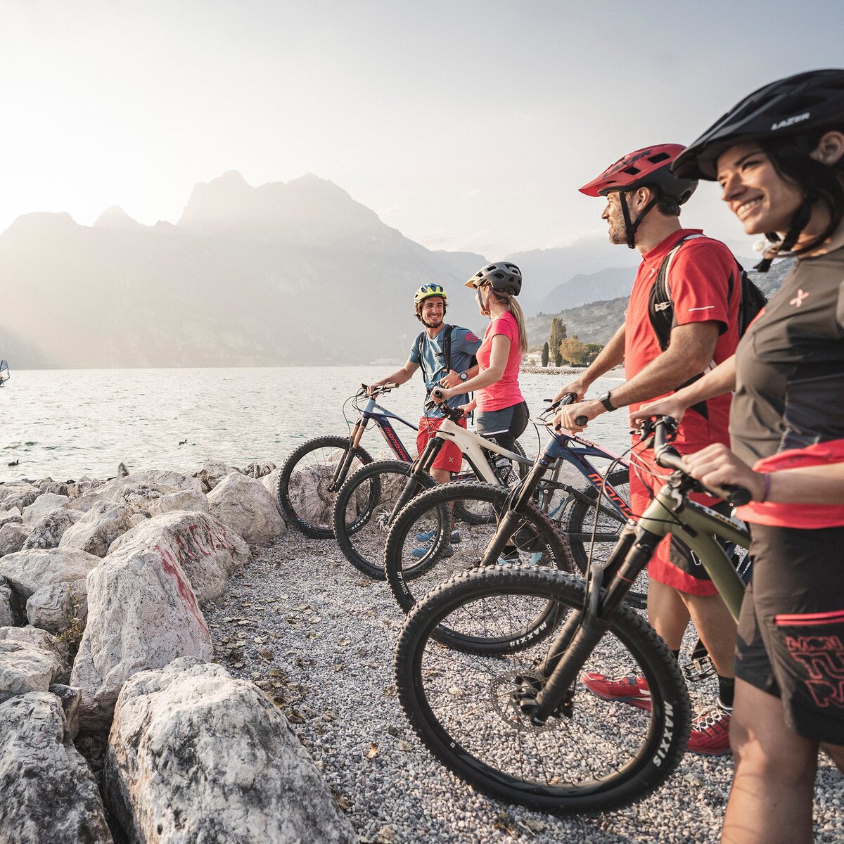
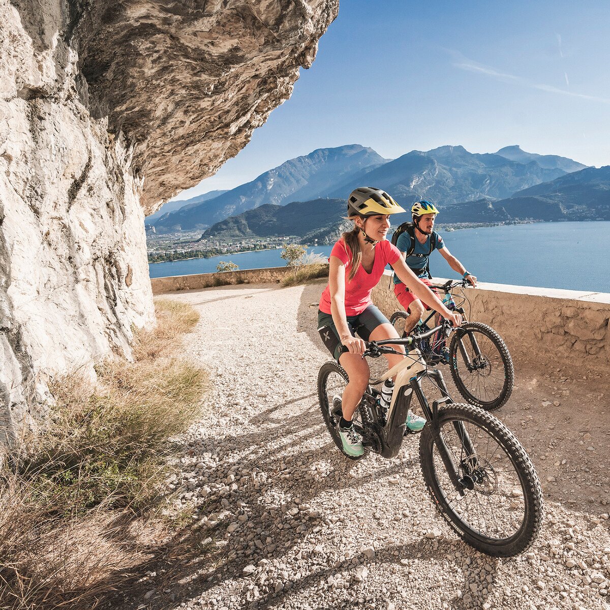
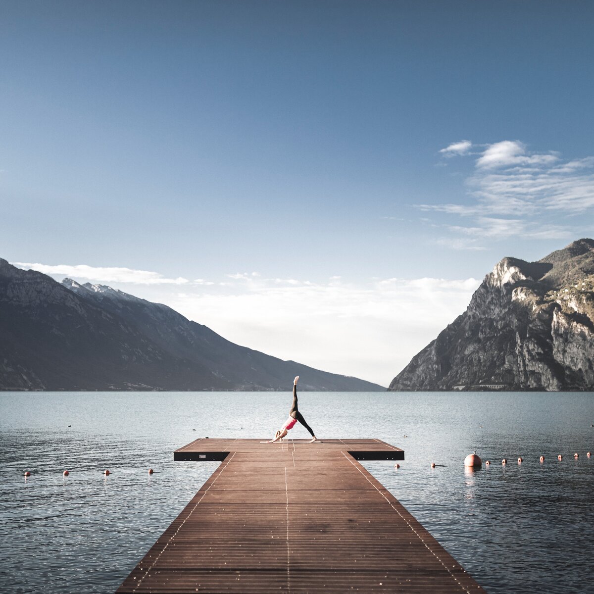
A two-wheeled journey to discover Forts Garda and Batteria di Mezzo, built over a century ago along the ridge of Monte Brione.
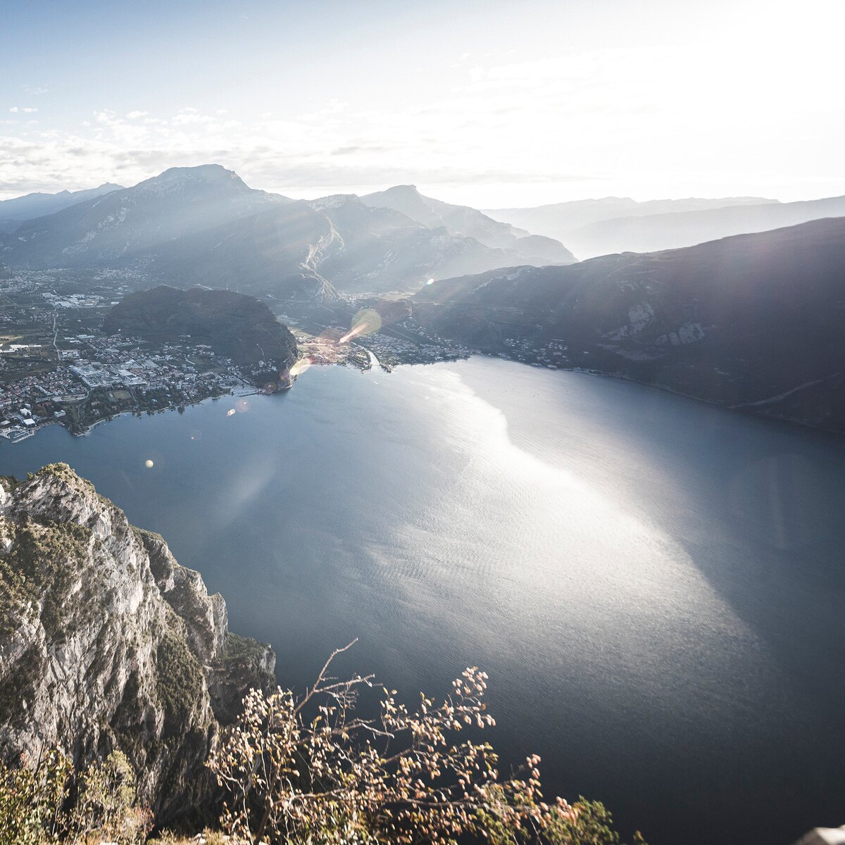
Until 1918, Garda Trentino was part of the Austro-Hungarian Empire, which, aware of the strategic importance of this area, built a powerful defensive line — with Monte Brione at its center. In addition to the visible remains from that period, Monte Brione is now a protected area due to its typically Mediterranean flora and remarkable biodiversity.
, Garda Trentino")

, Garda Trentino")
For more information on routes, bike services (rentals, workshops, shops) and cycling friendly accommodation: Garda Trentino - +39 0464 554444
ITRS - International Trail Rating System
The ITRS is an objective way to assess trails and routes from a biker’s perspective, evaluating four aspects:
Discover more about the ITRS system and check the classification of this tour in the photo gallery.
Safety Tips
1. Always wear your helmet.
2. Plan your ride.
3. You share the trail with other users. Yield right of way to hikers.
4. Let your speed be determined by your experience.
5. Ride slowly on crowded trails, overtake with politeness and respect.
6. Cycle only on authorized and open trails.
7. Avoid muddy trails in order not to damage them further.
8. Respect public and private property.
9. Always be self-sufficient.
10. Do not cycle solo in remote areas.
This information is subject to inevitable variations, so none of these indications are absolute. It is not entirely possible to avoid giving inexact or imprecise information, given how quickly environmental and weather conditions can change. For this reason, we decline any responsibility for changes which the user may encounter. In any case, it is advisable to check environment and weather conditions before setting out.
From Porto San Nicolò to Riva del Garda, the route climbs along a paved road, leading to the discovery of Forte Garda and Forte Batteria di Mezzo. Return along the same path.
The main towns in Garda Trentino - Riva del Garda, Arco, Torbole sul Garda, Nago – are connected by several urban and intercity bus lines which will take you to the starting point of tours or in the immediate surroundings.
You can also get to Riva del Garda and Torbole sul Garda by the public ferry service.
Up-to-date information on timetables and routes: https://www.gardatrentino.it/en/plan-your-trip/local-mobility
Find out how to reach Garda Trentino.
Free parking near the former hospital (Via Rosmini).
Paid parking: Porto San Nicolò, Terme Romane (Viale Roma), Vecchia stazione (Largo Medaglie d’Oro), Ex-agraria (Via Lutti).
Riding your bike requires specific clothing and equipment, even for relatively short and easy trips. It is always better to be prepared… e.g. for bad weather or a sudden drop in your energy levels. The unexpected things are part of the fun!
Remember to thoroughly evaluate the type of route you plan on doing, the locations you intend to cross and the current season. Has it been raining? Attention: The paths may be slippery and require more caution.
What do I need to bring on my bike tour?
It is always advised to let someone know where you plan to go and how long you expect to be.
Emergency telephone number 112.

, Garda Trentino")
, Garda Trentino")
, Garda Trentino")

, North Lake Garda Trentino")
, Garda Trentino")