aria.quick_link.navi aria.quick_link.skiptomaincontent aria.quick_link.footer
Garda Trentino Logo
Top

Sass de Santa Cros

Comano

Category
Difficulty
Intermediate
Duration
2:40
Duration in hours
Distance
7.2
Distance in km
Status
open
Suggested period
Jan
Feb
Mar
Apr
May
Jun
Jul
Aug
Sep
Oct
Nov
Dec

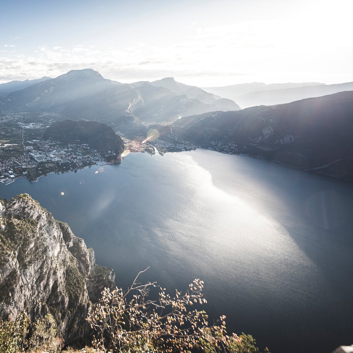
This short excursion, suitable for everyone, is ideal for beginners who wish to discover everything that mountain can offer.

Itinerary: Santa Croce, Bivedo, Cengledel, Sass de Santa Cross, Castel Restor, Santa Croce

Further information and useful links

For more information on routes, services (guides, mountain huts, shops etc.) and hiking friendly accommodation: Garda Trentino - +39 0464 554444

details
  • Scenic
  • Out and back
  • Cultural/historical interest
Route info
Intermediate
Route number
Distance
7,2 km
Duration
2 h 40 min
Altitude difference (+)
418 m
Altitude difference (-)
421 m
Physical effort
Scenary
Highest point
966 m
Lowest point
629 m
Suggestions

The Stations of the Cross and the thaumaturgical cros.

You might be interested in
Discover related tours
View from the old "Maza" road | © Archivio Garda Trentino, Garda Trentino
Intermediate
Torbole sul Garda - Nago, Arco, Riva del Garda, Tenno
Garda Trek - Low Loop: in the heart of Garda Trentino
Distance 32,4 km
Duration 12 h 25 min
Altitude difference (+) 1.145 m
Altitude difference (-) 1.170 m
Status
open
© Mark Van Hattem, Garda Trentino
Difficult
Ledro
Monte Cadria
Distance 11,9 km
Duration 6 h 00 min
Altitude difference (+) 1.230 m
Altitude difference (-) 1.230 m
Status
open
Val Algone, running happy | © Fototeca Trentino Sviluppo foto di P. Fiorini, North Lake Garda Trentino
Intermediate
Comano
Malga Movlina and Rifugio XII Apostoli
Distance 11,4 km
Duration 5 h 30 min
Altitude difference (+) 932 m
Altitude difference (-) 932 m
Status
open
View from the lookout | © Staff Outdoor Garda Trentino AC, Garda Trentino
Intermediate
Ledro
Defensionsmauer
Distance 8,1 km
Duration 3 h 40 min
Altitude difference (+) 400 m
Altitude difference (-) 400 m
Status
open
Bondiga | © Archivio APT Garda Trentino (Ph. A. Seneci), North Lake Garda Trentino
Difficult
Arco, Dro & Drena, Tenno
GardaTrek - Medium Loop 2: from the Rifugio San Pietro hut to Ceniga
Distance 12,9 km
Duration 6 h 20 min
Altitude difference (+) 950 m
Altitude difference (-) 1.802 m
Status
open
View from the top of Monte Misone | © Archivio Garda Trentino - Foto G.P. Calzà, Garda Trentino
Intermediate
Tenno
On the summit of Monte Misone
Distance 8,2 km
Duration 4 h 15 min
Altitude difference (+) 860 m
Altitude difference (-) 857 m
Status
open