Tours

arco tours

Arco offers much more than just a scenic backdrop. From the cliffs that have earned it the title of the “Italian capital of climbing” to mountain bike and gravel routes, via ferrata adventures, and hiking trails: you’ll find plenty of options here for the perfect outdoor holiday.

I Prai da Gom | © M. Giacomello, Garda Trentino
Difficult
Arco, Dro & Drena, Riva del Garda, Tenno
Ronda Piccola (All Mountain)
Distance 44,8 km
Duration 7 h 55 min
Altitude difference (+) 1.640 m
Altitude difference (-) 1.640 m
Status
open
The view of the Brenta Dolomites at the Malga Campo | © Archivio Garda Trentino (ph. Marco Giacomello), Garda Trentino
Difficult
Dro & Drena, Arco
Malga Campo - Tour
Distance 41,8 km
Duration 6 h 00 min
Altitude difference (+) 1.560 m
Altitude difference (-) 1.560 m
Status
open
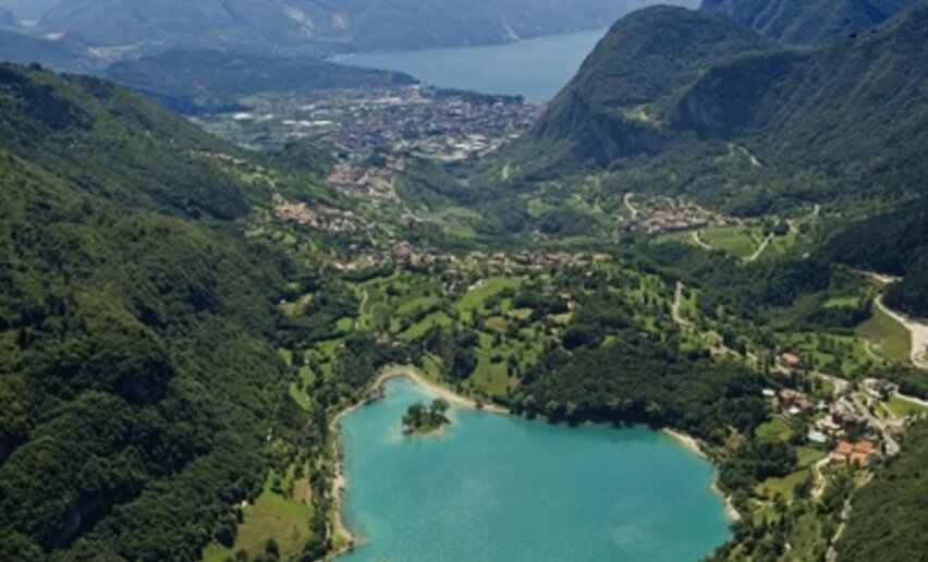
Lake Tenno from above | © APT Garda Trentino, North Lake Garda Trentino
Intermediate
Arco, Comano, Dro & Drena, Riva del Garda, Tenno, Valle dei Laghi
Ballino - Durone - Stenico
Distance 87,6 km
Duration 5 h 00 min
Altitude difference (+) 1.470 m
Altitude difference (-) 1.470 m
Status
open
On the top of Monte Brento | © Archivio Garda Trentino, Garda Trentino
Intermediate
Arco, Comano, Dro & Drena
The summit of Monte Brento
Distance 11,1 km
Duration 4 h 31 min
Altitude difference (+) 470 m
Altitude difference (-) 467 m
Status
open
An example of the terrain on the 409B Trail | © M. Giacomello, Garda Trentino
Difficult
Arco
Variante Piazzole - Trail
Distance 4,0 km
Duration 15 min
Altitude difference (+) 10 m
Altitude difference (-) 720 m
Status
open
View over Lake Garda | © Archivio APT Garda Trentino, Garda Trentino
Difficult
Torbole sul Garda - Nago, Surroundings, Val di Gresta, Arco
Monte Velo - Santa Barbara - Loppio
Distance 41,1 km
Duration 3 h 00 min
Altitude difference (+) 1.237 m
Altitude difference (-) 1.214 m
Status
open
On the road to Monte Velo | © APT Garda Trentino (FotoFiore), Garda Trentino
Difficult
Valle dei Laghi, Dro & Drena, Val di Gresta, Arco, Riva del Garda
Monte Velo - Passo Santa Barbara - Monte Bondone
Distance 102,7 km
Duration 7 h 00 min
Altitude difference (+) 2.726 m
Altitude difference (-) 2.738 m
Status
open
The cycle path near Passo San Giovanni | © Foto archivio Provincia Autonoma di Trento di Nicola Angeli fotografo, North Lake Garda Trentino
Easy
Torbole sul Garda - Nago, Surroundings, Riva del Garda, Arco
Ciclabile Adige - Garda cycle path
Distance 19,9 km
Duration 1 h 35 min
Altitude difference (+) 171 m
Altitude difference (-) 213 m
Status
open
Monte Stivo | © Archivio Garda Trentino - (Ph. Jennifer Doohan), Garda Trentino
Intermediate
Val di Gresta, Arco
Monte Stivo
Distance 9,7 km
Duration 4 h 00 min
Altitude difference (+) 850 m
Altitude difference (-) 856 m
Status
open