Tours

torbole and nago tours

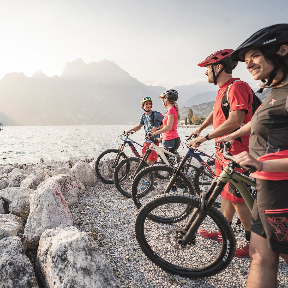
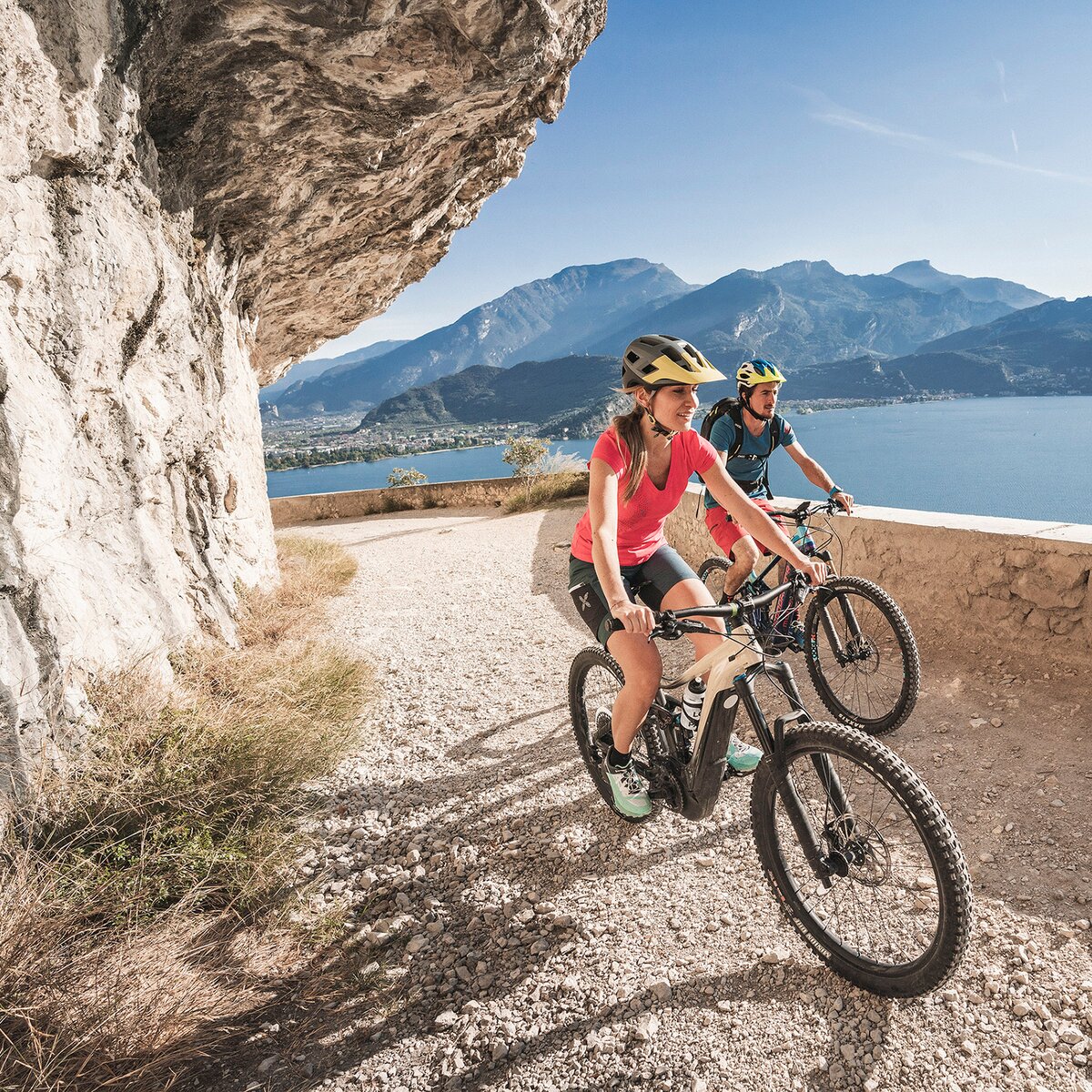
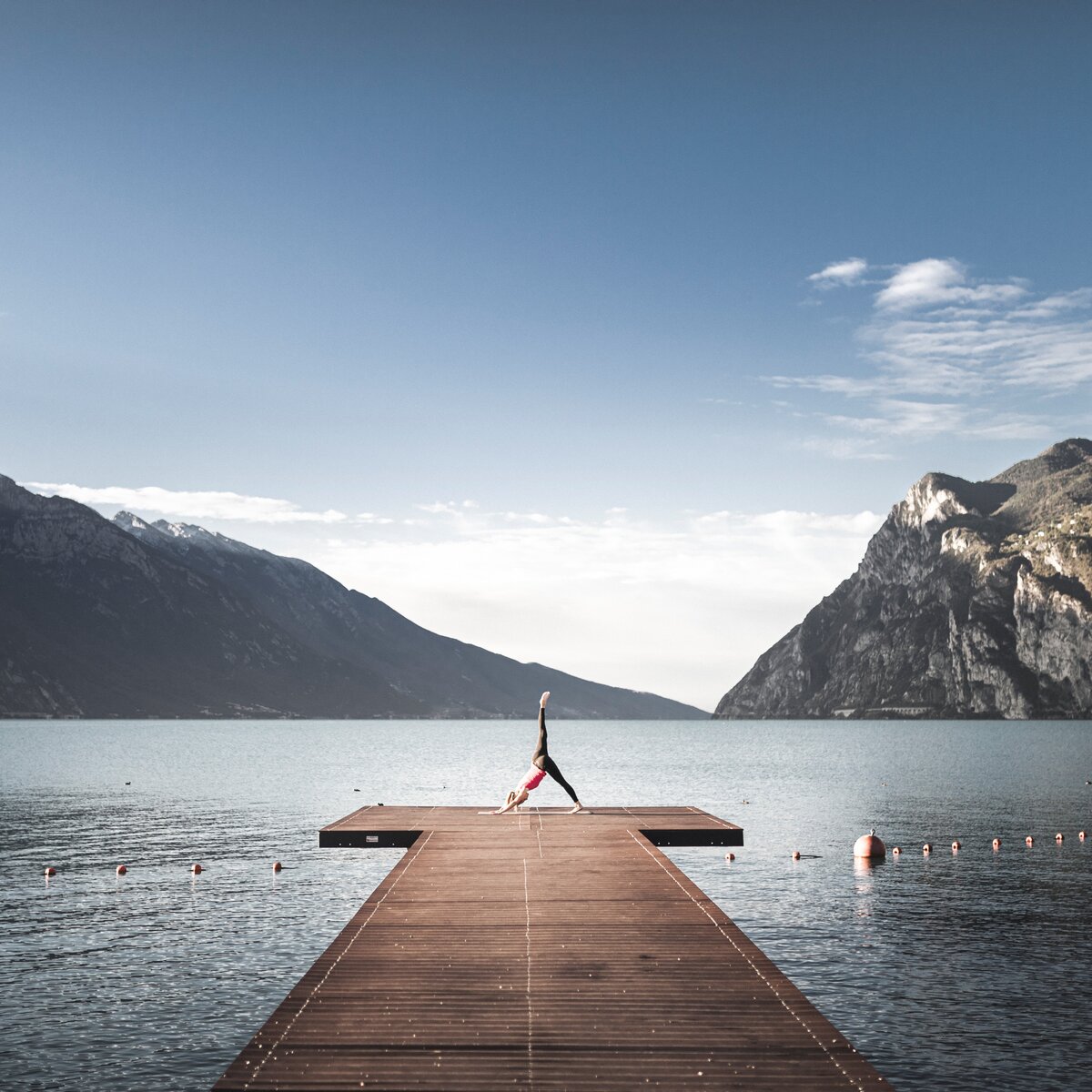
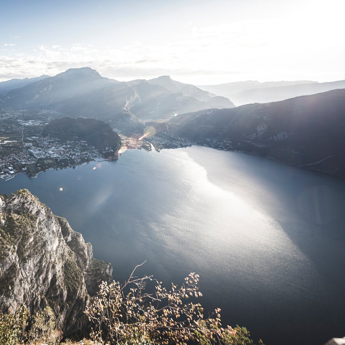
The region around Torbole and Nago beckons to those with an adventurous spirit. Whether you're scaling rocky cliffs on climbing routes, navigating mountain bike trails that meander through forests, embarking on thrilling SUP adventures across the lake, or exploring shaded paths that promise breathtaking views—the possibilities are endless!

The cycle path along the lake shore in Torbole | © R. Kiaulehn, Garda Trentino
Easy
Torbole sul Garda - Nago, Arco, Riva del Garda, Tenno
In the heart of Garda Trentino: the "Giro della Busa" loop
Distance 19,7 km
Duration 1 h 30 min
Altitude difference (+) 158 m
Altitude difference (-) 150 m
Status
open
Sunrise on the Monte Altissimo | © Archivio Garda Trentino (ph. Watchsome), Garda Trentino
Intermediate
Torbole sul Garda - Nago, Surroundings
From Nago to the summit of Monte Altissimo
Distance 8,6 km
Duration 4 h 00 min
Altitude difference (+) 761 m
Altitude difference (-) 762 m
Status
open
Marmitte dei Giganti | © Archivio Garda Trentino (ph. Tommaso Prugnola), Garda Trentino
Intermediate
Torbole sul Garda - Nago, Arco
18. From the Marmitte to Perlone between nature and geology
Distance 7,6 km
Duration 2 h 30 min
Altitude difference (+) 469 m
Altitude difference (-) 469 m
Status
open
The cycle path along river Sarca (The Castle of Arco in the background) | © Archivio APT Garda Trentino (ph. Vuilleumier) , Garda Trentino
Difficult
Valle dei Laghi, Torbole sul Garda - Nago, Arco, Dro & Drena, Riva del Garda, Tenno
1. Garda Trentino Discover: from the lake shore to Sarche
Distance 65,3 km
Duration 5 h 05 min
Altitude difference (+) 499 m
Altitude difference (-) 501 m
Status
open
View over lake Garda from the trenches of Monte Corno | © Associazione 1 Territorio 2 Fronti, Garda Trentino
Easy
Torbole sul Garda - Nago
WWI: Monte Corno and Busa dei Capitani
Distance 3,4 km
Duration 1 h 45 min
Altitude difference (+) 317 m
Altitude difference (-) 316 m
Status
open
© Archivio APT Garda Dolomiti - Castagna, Garda Trentino
Difficult
Riva del Garda, Comano, Valle dei Laghi, Arco, Dro & Drena, Torbole sul Garda - Nago, Tenno
Maxxis Gravel Garda Trentino - Long Track
Distance 102,8 km
Duration 6 h 30 min
Altitude difference (+) 1.661 m
Altitude difference (-) 1.672 m
Status
open
© APTGARDADOLOMITI_ph_Castagna, Garda Trentino
Intermediate
Torbole sul Garda - Nago, Riva del Garda, Arco, Dro & Drena, Valle dei Laghi
Maxxis Gravel Garda Trentino - Short Track
Distance 66,4 km
Duration 3 h 30 min
Altitude difference (+) 414 m
Altitude difference (-) 414 m
Status
open
From Comano towards Poia | © Archivio Garda Trentino (ph. Marco Giacomello), Garda Trentino
Difficult
Riva del Garda, Comano, Arco, Dro & Drena, Torbole sul Garda - Nago, Valle dei Laghi, Tenno
Comano Gravel Experience
Distance 68,8 km
Duration 6 h 15 min
Altitude difference (+) 1.105 m
Altitude difference (-) 1.107 m
Status
open
© Marco Giacomello, Garda Trentino
Intermediate
Torbole sul Garda - Nago, Comano, Arco, Riva del Garda, Tenno
Lago di Tenno Gravel Experience
Distance 45,5 km
Duration 4 h 25 min
Altitude difference (+) 1.008 m
Altitude difference (-) 1.011 m
Status
open