Ponale mountain bike - Lake Garda
Tours

riva del garda tours

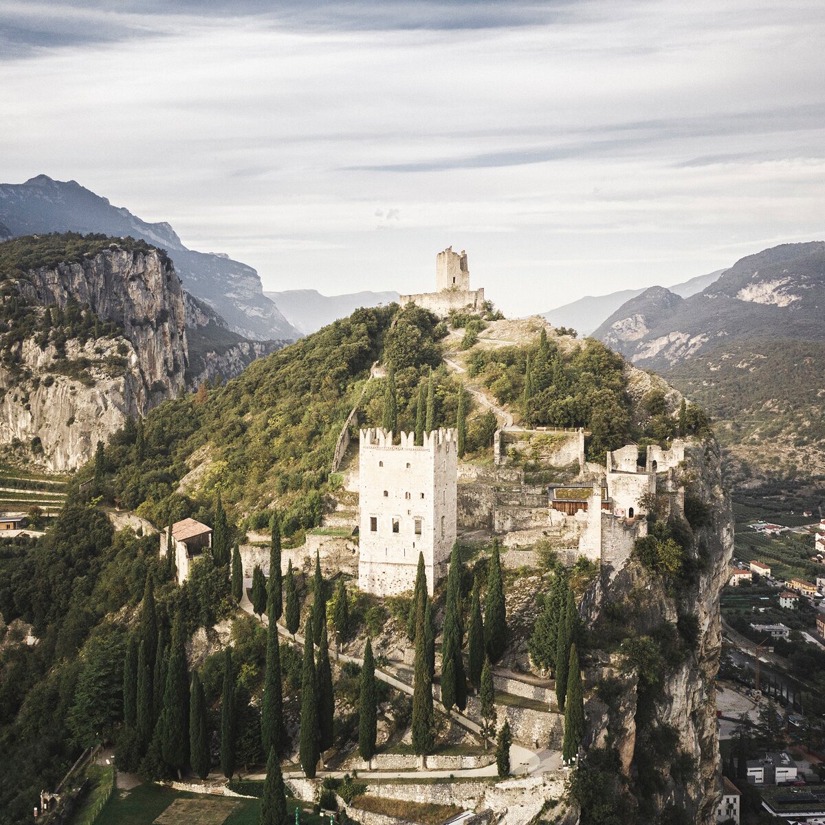
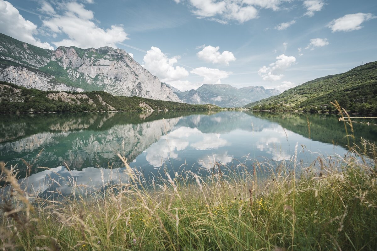
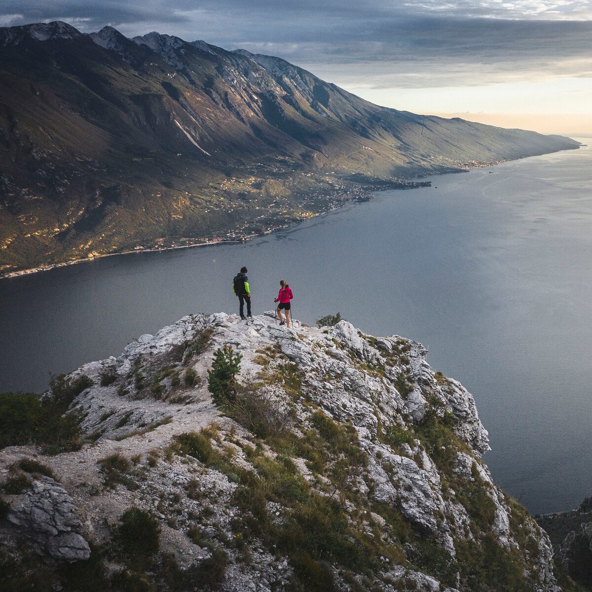
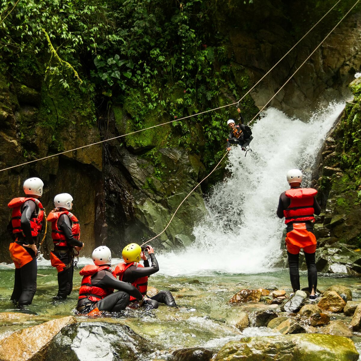
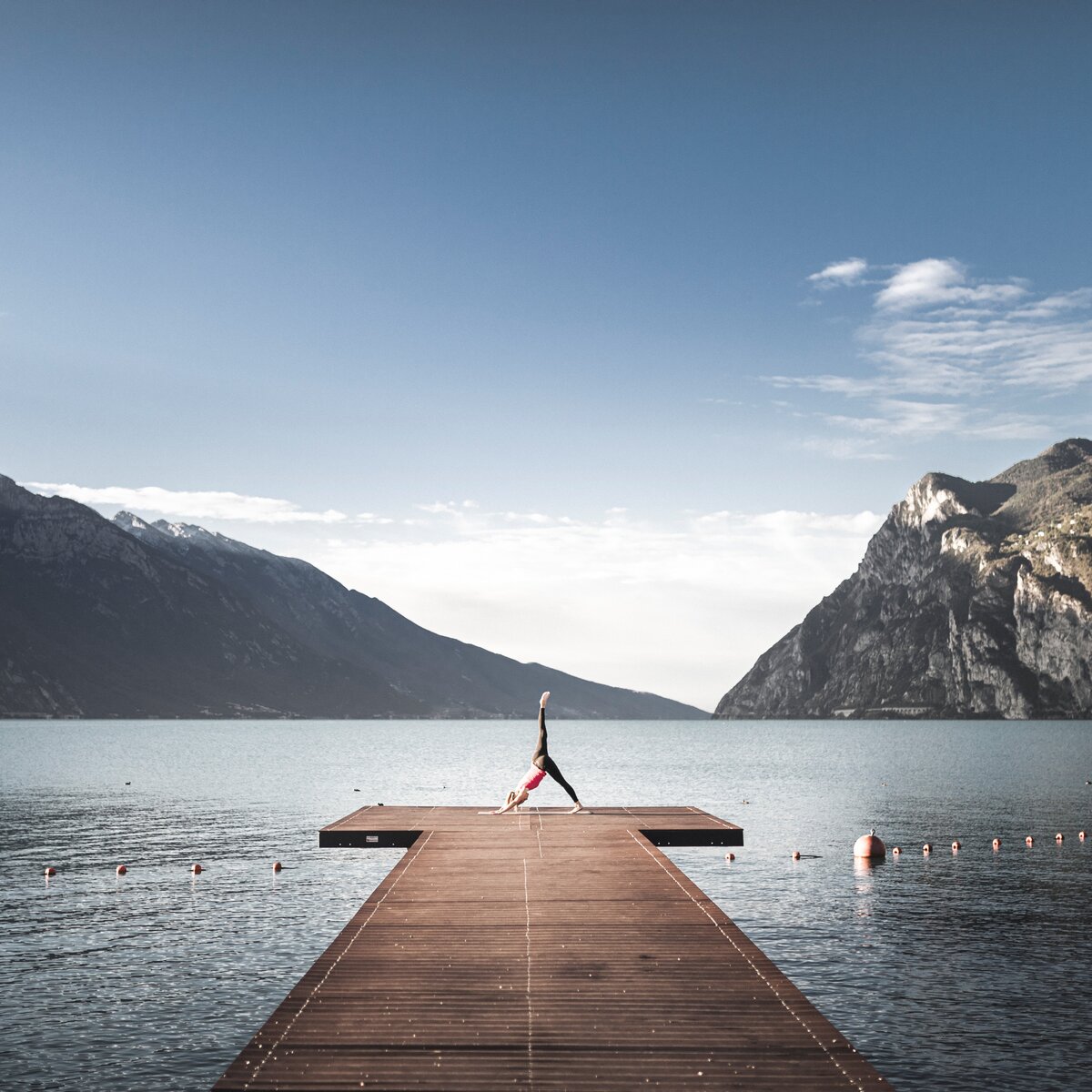
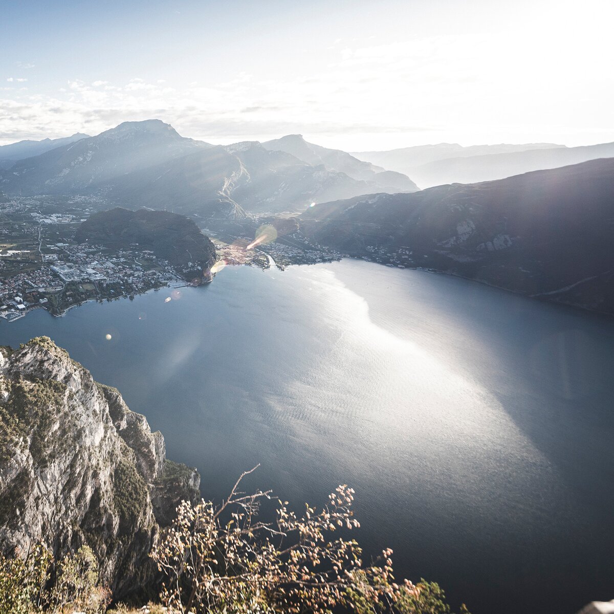
In the vicinity of Riva del Garda, a plethora of routes and trails awaits outdoor enthusiasts, as well as those who simply prefer to stroll through nature, soaking in the surrounding beauty. Whether it's a leisurely stroll along the lake's shores, an invigorating hike in the surrounding mountains, a via ferrata adventure, or an SUP outing, pick your favourite activity and prepare for an unforgettable day immersed in the great outdoors.


SUP in the waters of Riva del Garda | © Archivio Garda Trentino (ph. Watchsome), Garda Trentino
Intermediate
Riva del Garda
SUP TOUR: 8. Sperone
Distance 5,0 km
Duration 35 min
Altitude difference (+) 0 m
Altitude difference (-) 0 m
Status
open
Rifugio Pernici with the ridge of Pichea in the background | © Archivio Garda Trentino (ph. Alessandro de Guelmi), Garda Trentino
Difficult
Ledro, Riva del Garda
Rifugio Pernici Trail-Tour
Distance 41,3 km
Duration 8 h 00 min
Altitude difference (+) 1.810 m
Altitude difference (-) 1.810 m
Status
open
I Prai da Gom | © M. Giacomello, Garda Trentino
Difficult
Arco, Dro & Drena, Riva del Garda, Tenno
Ronda Piccola (All Mountain)
Distance 44,8 km
Duration 7 h 55 min
Altitude difference (+) 1.640 m
Altitude difference (-) 1.640 m
Status
open
Lake Tenno from above | © APT Garda Trentino, North Lake Garda Trentino
Intermediate
Arco, Comano, Dro & Drena, Riva del Garda, Tenno, Valle dei Laghi
Ballino - Durone - Stenico
Distance 87,6 km
Duration 5 h 00 min
Altitude difference (+) 1.470 m
Altitude difference (-) 1.470 m
Status
open
Lakeside of Torbole | © Archivio Garda Trentino (ph. Watchsome), Garda Trentino
Intermediate
Torbole sul Garda - Nago, Riva del Garda
SUP TOUR: 4. Conca d'Oro
Distance 4,9 km
Duration 1 h 30 min
Altitude difference (+) 0 m
Altitude difference (-) 0 m
Status
open
© Stefania Oradini, Garda Trentino
Difficult
Comano, Tenno, Riva del Garda, Ledro
Giro delle cime - Half tour
Distance 17,5 km
Duration 8 h 00 min
Altitude difference (+) 1.200 m
Altitude difference (-) 1.200 m
Status
closed
On the road to Monte Velo | © APT Garda Trentino (FotoFiore), Garda Trentino
Difficult
Valle dei Laghi, Dro & Drena, Val di Gresta, Arco, Riva del Garda
Monte Velo - Passo Santa Barbara - Monte Bondone
Distance 102,7 km
Duration 7 h 00 min
Altitude difference (+) 2.726 m
Altitude difference (-) 2.738 m
Status
open
The cycle path near Passo San Giovanni | © Foto archivio Provincia Autonoma di Trento di Nicola Angeli fotografo, North Lake Garda Trentino
Easy
Torbole sul Garda - Nago, Surroundings, Riva del Garda, Arco
Ciclabile Adige - Garda cycle path
Distance 19,9 km
Duration 1 h 35 min
Altitude difference (+) 171 m
Altitude difference (-) 213 m
Status
open
The cycle path along the lake promenade | © Archivio APT Garda Trentino (ph. Vuilleumier) , Garda Trentino
Easy
Torbole sul Garda - Nago, Arco, Riva del Garda
5. From Riva del Garda to Torbole: around Monte Brione
Distance 12,5 km
Duration 1 h 00 min
Altitude difference (+) 82 m
Altitude difference (-) 81 m
Status
open