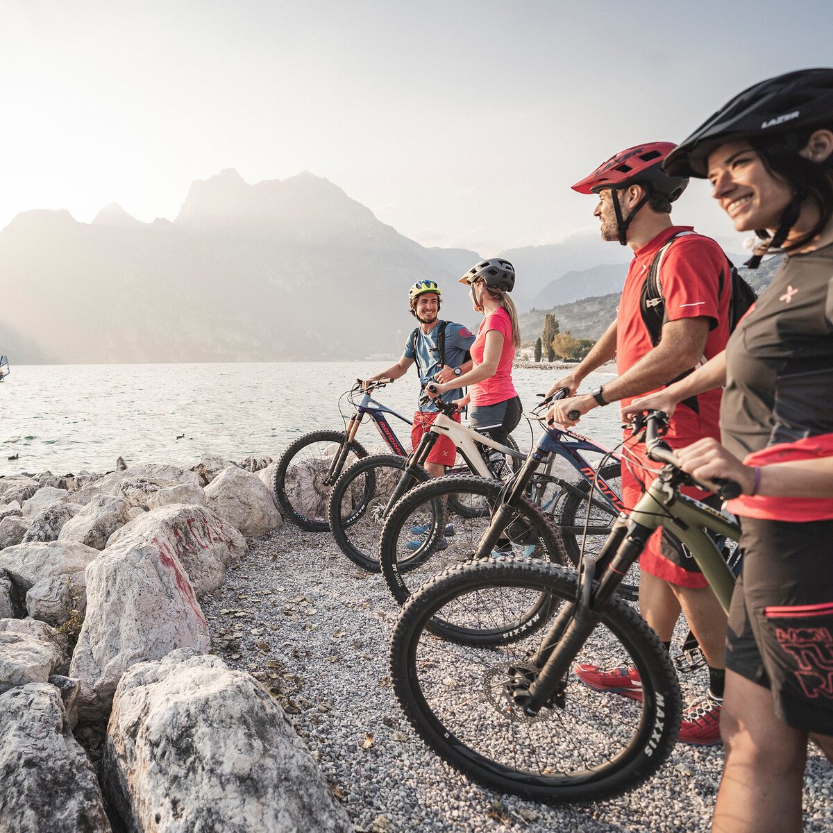
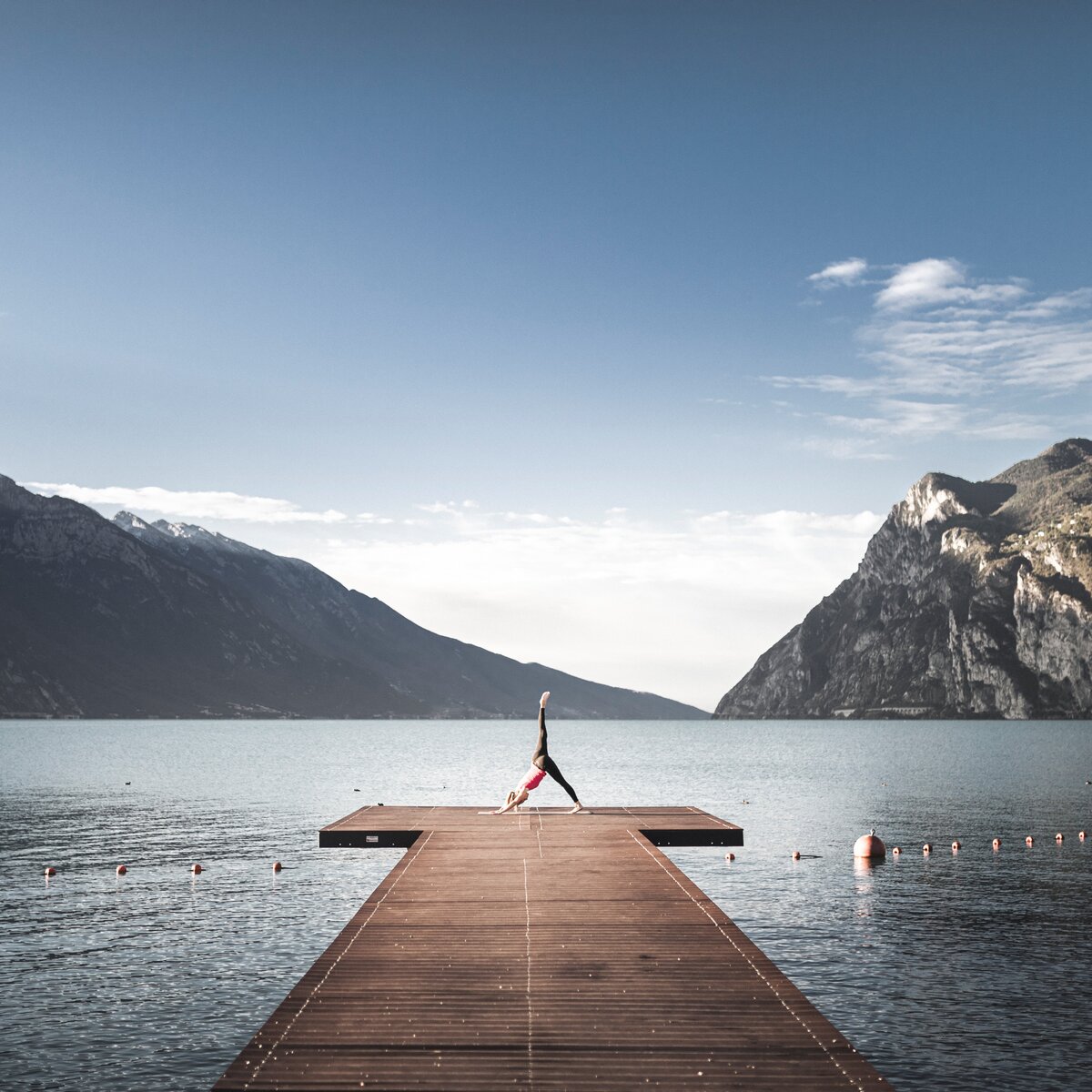
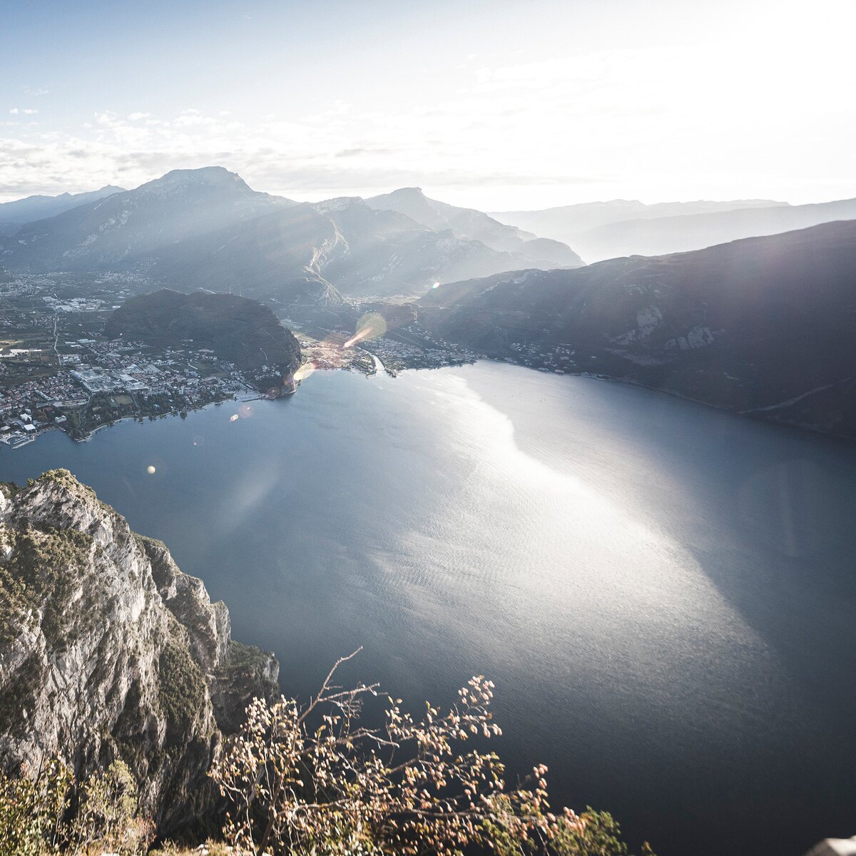
From any point of Garda Trentino, you can see the hill of Monte Brione in the centre of the valley.
It makes for a lovely walk, but here we tell you how to visit it on two wheels!
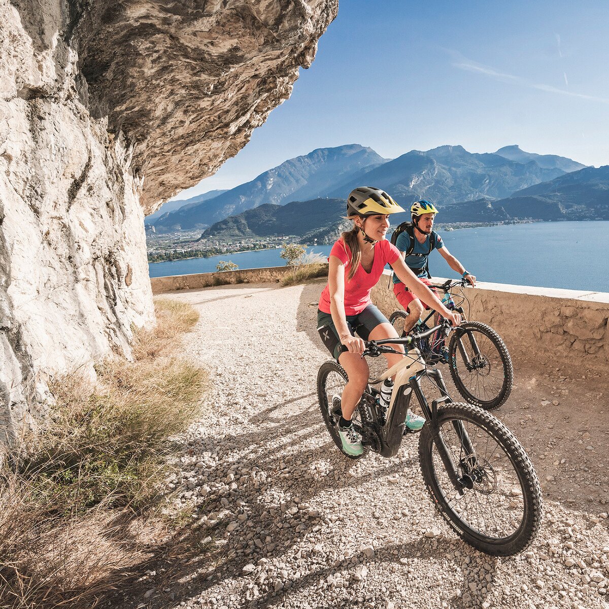
The route develops largely among olive groves, reaching one of the best historical points of interest in the area.
The proposed descent to the village of Sant’Alessandro itself, in its first stretch, is rather technical with steps, and some loose, fairly sized rocks. In all - the descent is approximately 300 metres, and we would advise those who aren’t confident with technical descents to ‘walk the bike’ down or simply return via the way of arrival.
If you do choose to tackle the descent, remember that this route is also frequented by many hikers, therefore please moderate your speed and give them priority.
STAY ON TRAIL: you are pedaling in a nature reserve! Respect the nature and stay on trail! Otherwise, you risk a fine and the mtb seizure.
Safety Tips
This information is subject to inevitable variations, so none of these indications are absolute. It is not entirely possible to avoid giving inexact or imprecise information, given how quickly environmental and weather conditions can change. For this reason, we decline any responsibility for changes which the user may encounter. In any case, it is advisable to check environment and weather conditions before setting out.
The starting point of the tour is from Bike Festival area. You follow the cycle path along the Lake to Porto San Nicolò.
Here cross Viale Rovereto onto Via Brione, and after a few dozen metres turn right onto Via Monte Brione. From here you can begin to follow the track, and route signs for 770 that guide you up hill. The constant gradient of almost 10% leads to a quick altitude gain, and the view of Riva del Garda becomes more wonderful with every hairpin. After about 2.5 km, on your right, you’ll reach a dirt road, partially closed by a barrier. You continue straight until the beginning of the technical descent.
Anyone wishing to avoid the technical descent can decide to keep left here, and return back to the starting point via the same route of arrival. However, for the technical descent, turn right, and after about 700m - on your left, you’ll see the entrance to the path. Reaching a cement road - follow it downhill until the village of Sant'Alessandro. Here, go straight to arrive at the stop sign on Via Sant’Alessandro. Cross the road and continue straight untile the cross road with Via Filanda; turn to the right and continue to reach the cycle path, that leads you back to the Bike Festival.
The main towns in Garda Trentino - Riva del Garda, Arco, Torbole sul Garda, Nago – are connected by several urban and intercity bus lines which will take you to the starting point of tours or in the immediate surroundings.
You can also get to Riva del Garda and Torbole sul Garda by the public ferry service.
Up-to-date information on timetables and routes.
Free parking near the former hospital (Via Rosmini).
Paid parking: Terme Romane (Viale Roma), Vecchia stazione (Largo Medaglie d’Oro), Ex-agraria (Via Lutti).
Riding your bike requires specific clothing and equipment, even for relatively short and easy trips. It is always better to be prepared… e.g. for bad weather or a sudden drop in your energy levels. The unexpected things are part of the fun!
Remember to thoroughly evaluate the type of route you plan on doing, the locations you intend to cross and the current season. Has it been raining? Attention: The paths may be slippery and require more caution.
What do I need to bring on my bike tour?
It is always advised to let someone know where you plan to go and how long you expect to be.
Emergency telephone number 112.


, Garda Trentino")
, Garda Trentino")
, Garda Trentino")