Garda Trentino Logo
Top

Shortcut Pietramurata

Dro & Drena

Category
Difficulty
Easy
Duration
0:05
Duration in hours
Distance
0.3
Distance in km
Status
open
Suggested period
Jan
Feb
Mar
Apr
May
Jun
Jul
Aug
Sep
Oct
Nov
Dec

If you don’t want to do the whole route of the 731. Anello Garda Sarca, there's a shortcut at Pietramurata.

Signage: 731a. Shortcut Pietramurata.

This cuts the distance down to 59.4 km and still provides an absolutely wonderful day out.

Further information and useful links

For more information on routes, bike services (rentals, workshops, shops) and cycling friendly accommodation: Garda Trentino - +39 0464 554444

Route info
Easy
Route number
Distance
0,3 km
Duration
05 min
Altitude difference (+)
3 m
Altitude difference (-)
4 m
Physical effort
Scenary
Highest point
249 m
Lowest point
245 m
Suggestions

Pietramurata lies on the banks of the river Sarca, which flows down from the Brenta Dolomites into Lake Garda.

Safety guidelines

ITRS - International Trail Rating System

The ITRS is an objective way to assess trails and routes from a biker’s perspective, evaluating four aspects:

  • Technical Difficulty: riding skill level needed
  • Endurance: combined effect of length, uphill and downhill
  • Wilderness: amount of planning required based on mobile phone reception, rescue options, water supply and wildlife
  • Exposure: consequences of a fall

Discover more about the ITRS system and check the classification of this tour in the photo gallery.


Safety Tips

  1. Always wear your helmet.
  2. Plan your ride.
  3. You share the trail with other users. Yield right of way to hikers.
  4. Let your speed be determined by your experience.
  5. Ride slowly on crowded trails, overtake with politeness and respect.
  6. Cycle only on authorized and open trails.
  7. Avoid muddy trails in order not to damage them further.
  8. Respect public and private property.
  9. Always be self-sufficient.
  10. Do not cycle solo in remote areas.

This information is subject to inevitable variations, so none of these indications are absolute. It is not entirely possible to avoid giving inexact or imprecise information, given how quickly environmental and weather conditions can change. For this reason, we decline any responsibility for changes which the user may encounter. In any case, it is advisable to check environment and weather conditions before setting out.

Punto di partenza
Borgo Nuovo
Directions

From Borgo Nuovo we cross the river Sarca to reach the village of Pietramurata, where we rejoin the Anello Garda Sarca.

public transportation

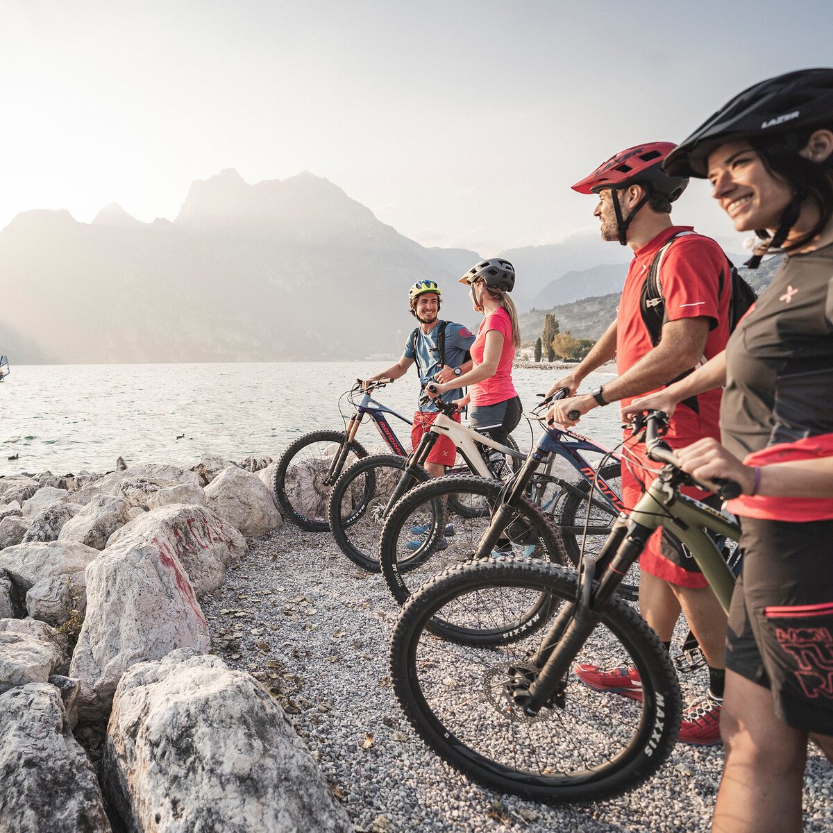
The main towns in Garda Trentino - Riva del Garda, Arco, Torbole sul Garda, Nago – are connected by several urban and intercity bus lines which will take you to the starting point of tours or in the immediate surroundings.

You can also get to Riva del Garda and Torbole sul Garda by the public ferry service.

Up-to-date information on timetables and routes.

How to get there
Where to park

Parking at the starting point of the 731. Anello Garda Sarca.

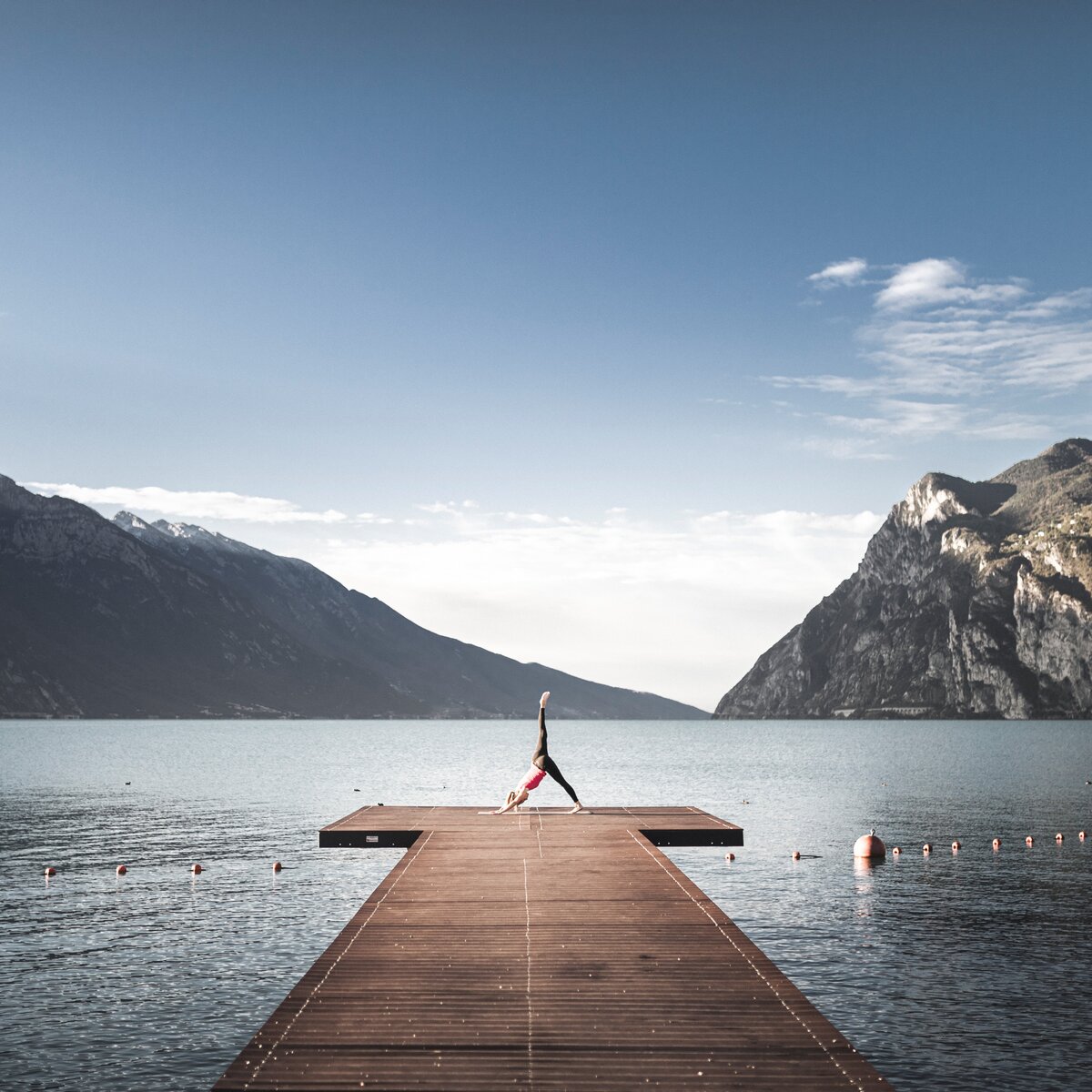
Riding your bike requires specific clothing and equipment, even for relatively short and easy trips. It is always better to be prepared… e.g. for bad weather or a sudden drop in your energy levels. The unexpected things are part of the fun!

Remember to thoroughly evaluate the type of route you plan on doing, the locations you intend to cross and the current season. Has it been raining? Attention: The paths may be slippery and require more caution.

What do I need to bring on my bike tour?

  • An adequate water supply according to your needs (considering temperature, possibility of refuelling and duration of the route)
  • Plenty of snacks (for example, dried fruit or energy bars)
  • Waterproof / Windproof jacket
  • A spare top / spare socks (Descending in a sweaty garment, will make you cold).
  • Suncream
  • Sunglasses
  • Bike gloves/mitts
  • Map or GPS device
  • Bike lights: best placed on your helmet or handlebars. (It is always best to be prepared)
  • Bike repair kit for punctures and mechanical breakdowns
  • First aid kit
  • Emergency whistle

It is always advised to let someone know where you plan to go and how long you expect to be.

Emergency telephone number 112.

You might be interested in
Discover related tours
Strada del Pil | © Archivio Garda Trentino (ph. Watchsome), Garda Trentino
Difficult
Valle dei Laghi, Torbole sul Garda - Nago, Arco, Dro & Drena, Riva del Garda, Tenno
Anello Garda Sarca
Distance 67,3 km
Duration 8 h 25 min
Altitude difference (+) 1.407 m
Altitude difference (-) 1.407 m
Status
closed
Ready, steady... Go! | © Archivio Garda Trentino (ph. Tommaso Prugnola), Garda Trentino
Easy
Tenno
Variante per Elisa - Trail
Distance 1,7 km
Duration 04 min
Altitude difference (+) 0 m
Altitude difference (-) 360 m
Status
open
Road to Laghel with the castle in the background | © Archivio Garda Trentino (ph. Watchsome), Garda Trentino
Easy
Arco, Dro & Drena
Laghel Family - Tour
Distance 10,3 km
Duration 1 h 20 min
Altitude difference (+) 280 m
Altitude difference (-) 280 m
Status
open
Malga Zanga | © Malga Zanga, North Lake Garda Trentino
Easy
Val di Gresta, Arco, Surroundings
Variante Santa Barbara Trail
Distance 6,1 km
Duration 50 min
Altitude difference (+) 180 m
Altitude difference (-) 330 m
Status
open
Strada del Pil on terraced slopes near Tenno | © Archivio Garda Trentino (ph. Watchsome), Garda Trentino
Difficult
Tenno, Arco, Dro & Drena
San Giovanni Trail-Tour
Distance 37,3 km
Duration 5 h 50 min
Altitude difference (+) 1.410 m
Altitude difference (-) 1.410 m
Status
open
Ascent to Monte Brione | © Archivio Garda Trentino (ph. Tommaso Prugnola), Garda Trentino
Easy
Riva del Garda
Monte Brione Trail-Tour
Distance 6,2 km
Duration 50 min
Altitude difference (+) 240 m
Altitude difference (-) 240 m
Status
open