Punto di partenza
Fraz. Deggia, San Lorenzo in Banale - Santuario della Madonna di Deggia
Directions
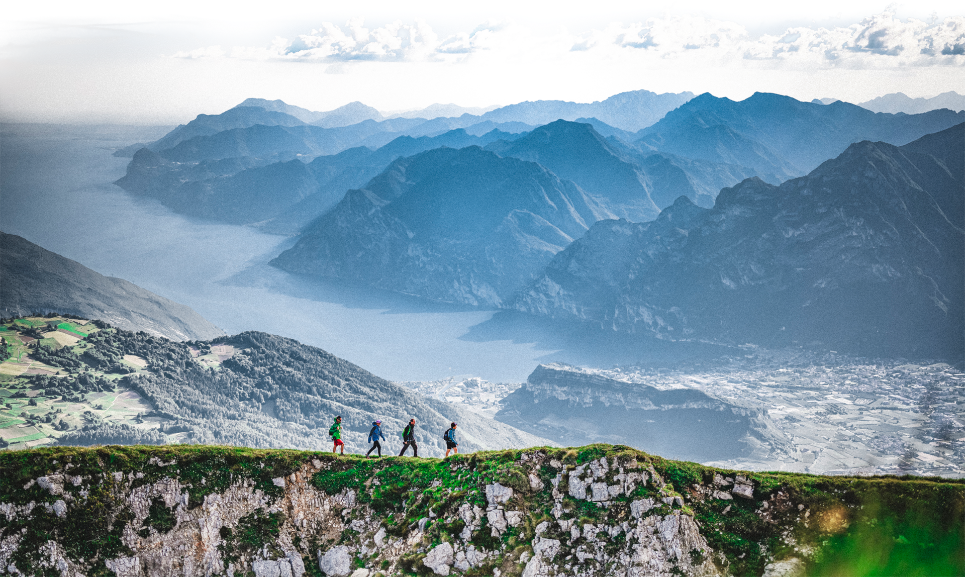
From S. Lorenzo in Banale reach the borough of Moline, continue uphill towards Deggia along a picturesque cobbled road. When you arrive at the fountain, where the road turns left sharply, turn right and park near the shrine. Continue on foot along the road on the right following the SAT “San Vili” 613 sign towards Ranzo. This captivating itinerary runs above the Limarò canyon from where you can enjoy a beautiful panorama. When you reach Ranzo, make your way up to the more elevated part of town and continue towards the “Beal” area, along a road that starts off flat and then rises to reach a mixed wood of pine and larch tree. At the crossing with the forest road, bear left following the road up and down to reach “Localita’ Bael” - an area rich in pastures and therefore used, in the past, for haymaking - and its characteristic “case da mont”, mountain houses, once used as shelters for farm animals during spring and autumn, today renovated private homes. Next, make your way to Località Argiè and Località Pezol, an area immersed in vast grassy fields with few houses scattered around, and finally to Località Nembia. To return to Deggia, the starting point of this walk, follow the paved road on the left descending towards Santuario della Madonna di Deggia, a place of faith dedicated to Beata Maria Vergine del Carvaggio.


, North Lake Garda Trentino")