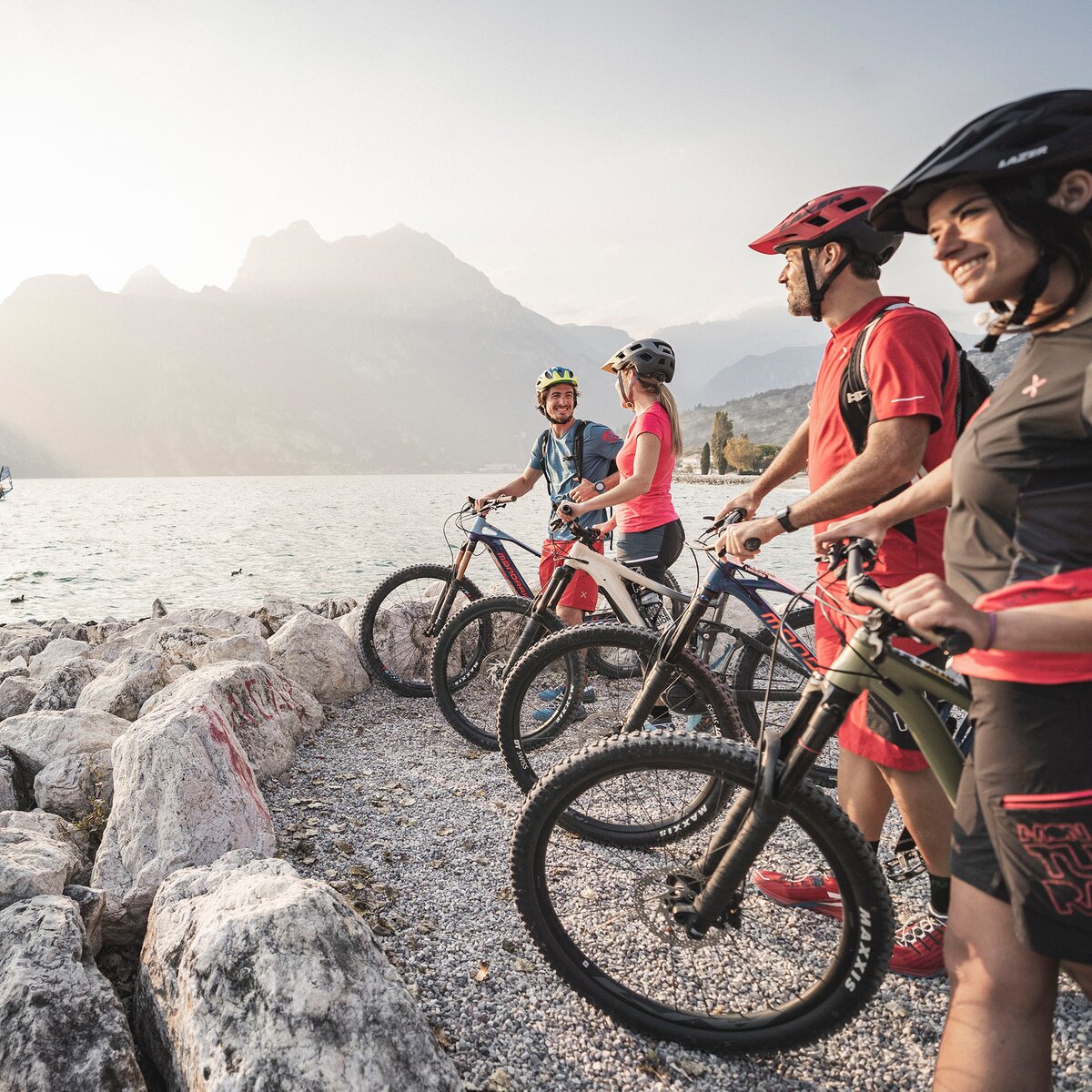
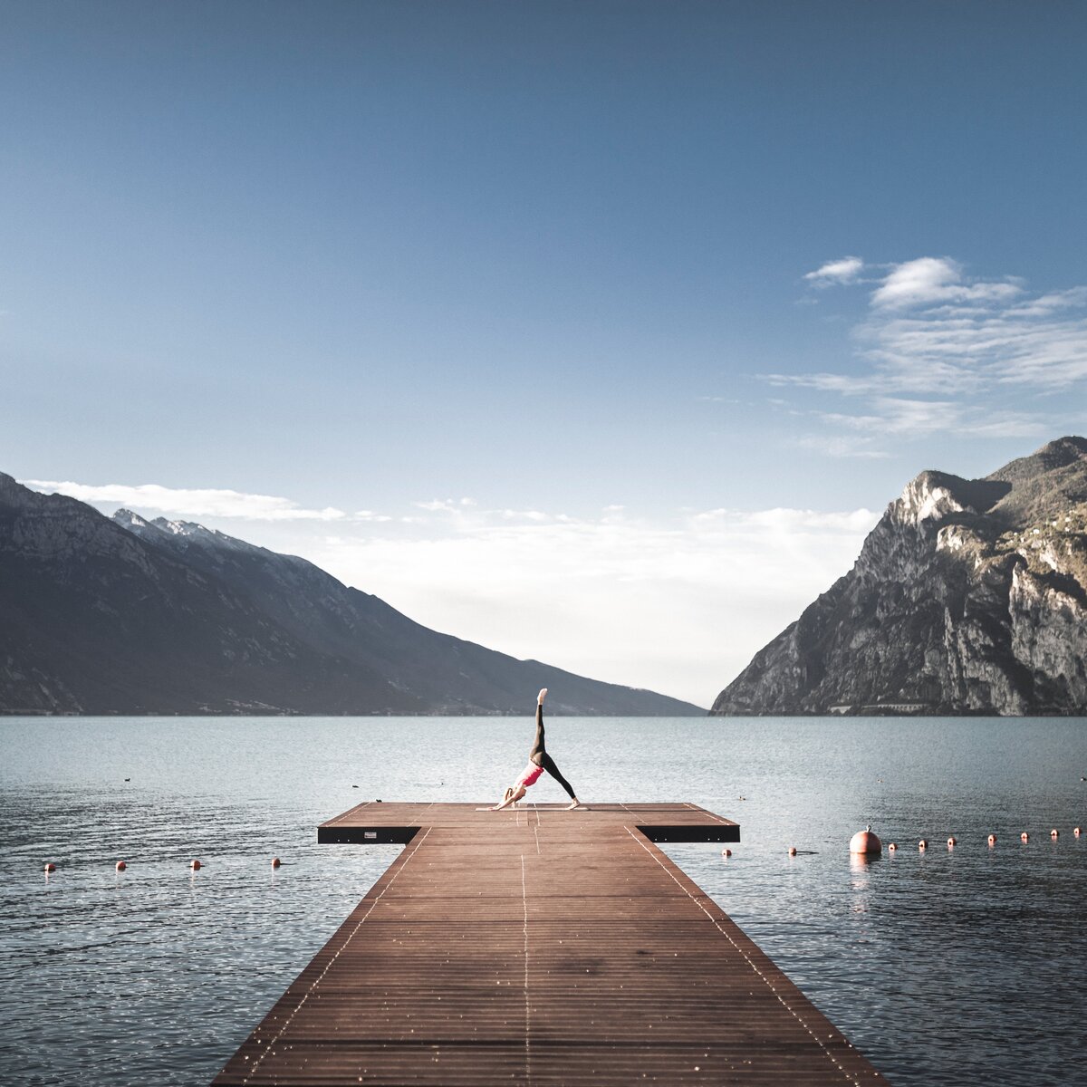
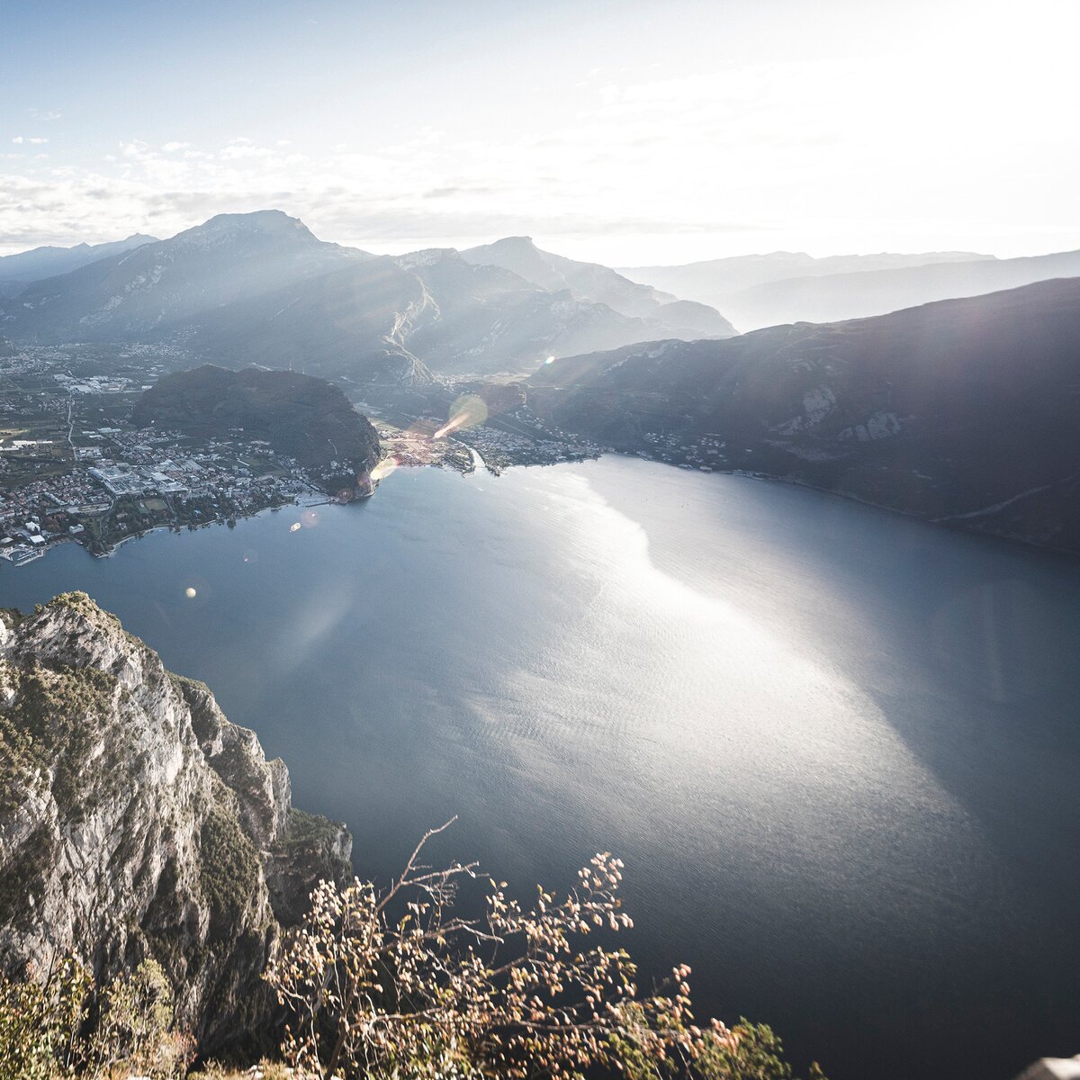
A captivating walk through the Olive Grove of Monte Brione, where nature and history come together to offera unique experience surrounded by lush greenery.
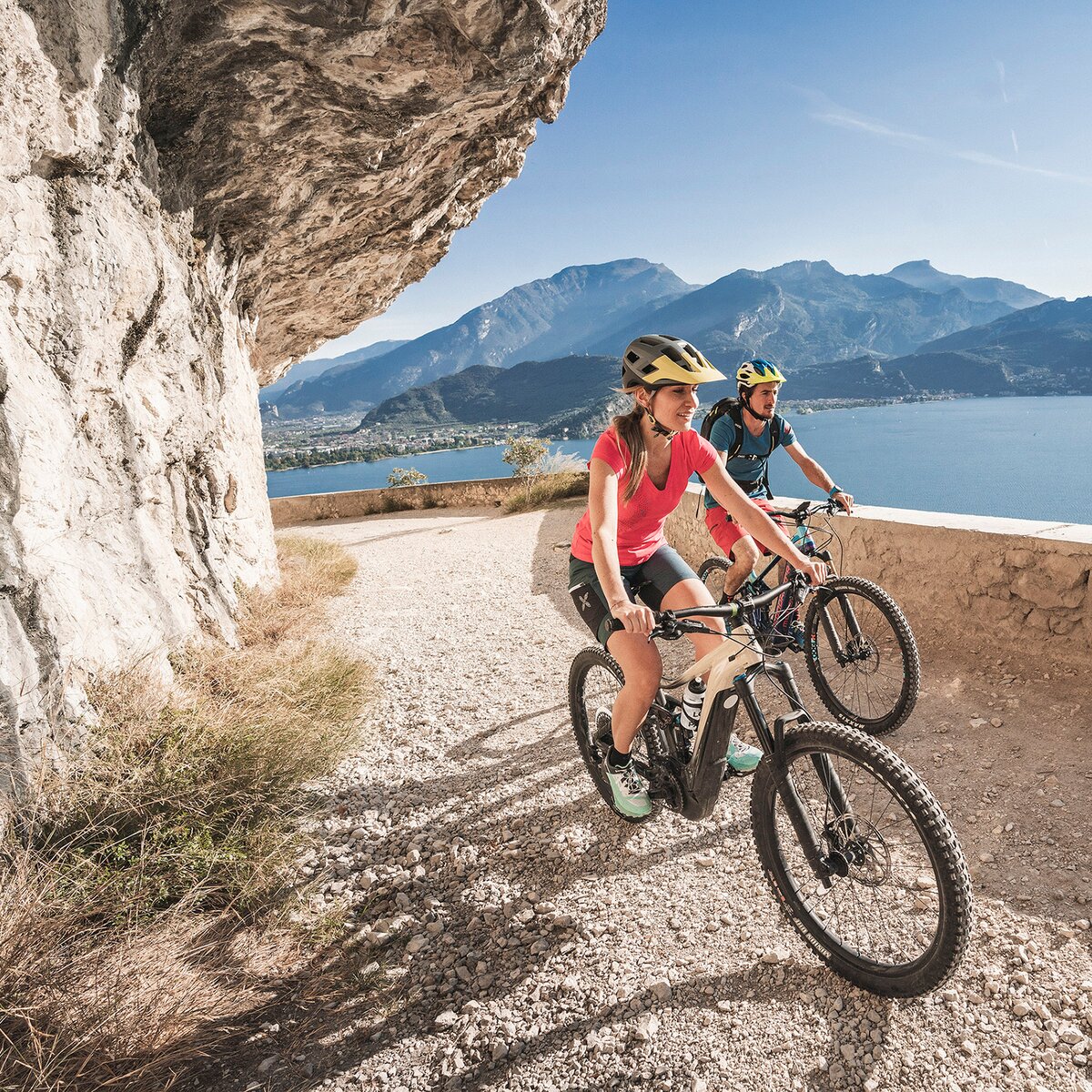
A pleasant and refreshing walk among the centuries-old olive trees of Monte Brione, surrounded by a charming Mediterranean landscape. Starting from Porto San Nicolò, the route leads to the picturesque village of Sant'Alessandro, with a relaxing return along the cycle path. A simple yet authentic experience – perfect for slowing down and enjoying the natural beauty of Garda Trentino.
For more information on routes, services (guides, mountain huts, shops etc.) and hiking friendly accommodation: Garda Trentino - +39 0464 554444 | https://www.gardatrentino.it/en/outdoor/hiking
The telephone number for the emergency services is 112.
The information on this chart is subject to inevitable variations, so this means that none of the indications are absolute. It is not entirely possible to avoid giving inexact or imprecise information, given how quickly environmental and weather conditions can change. For this reason we decline any responsibility for changes which the user may encounter. In any case, the hiker is advised to check the conditions of the places, environment and weather before setting out.
A pleasant walk among the olive trees of Monte Brione, starting from Porto San Nicolò. Follow the road towards Sant'Alessandro, then return along the bike path, which offers a pleasant and easy route back to Porto San Nicolò, completing the circular loop.
The main towns in Garda Trentino - Riva del Garda, Arco, Torbole sul Garda, Nago – are connected by several urban and intercity bus lines which will take you to the starting point of tours or in the immediate surroundings.
You can also get to Riva del Garda and Torbole sul Garda by the public ferry service.
Up-to-date information on timetables and routes: https://www.gardatrentino.it/it/organizza/trasporti-mobilita
Find out how to reach Garda Trentino: https://www.gardatrentino.it/en/plan-your-trip/how-to-get-here
Free parking in Caneve (5 minutes walk to the town centre).
Paid parking: Foro Boario, near the bridge (Via Caproni Maini) or the post office (Via Monache).
This excursion is quite simple and presents no particular difficulty. However, we still recommend you to wear suitable footwear, a hat, sun screen and sunglasses. And be sure to bring water


, Garda Trentino")

, Garda Trentino")

 , North Lake Garda Trentino")