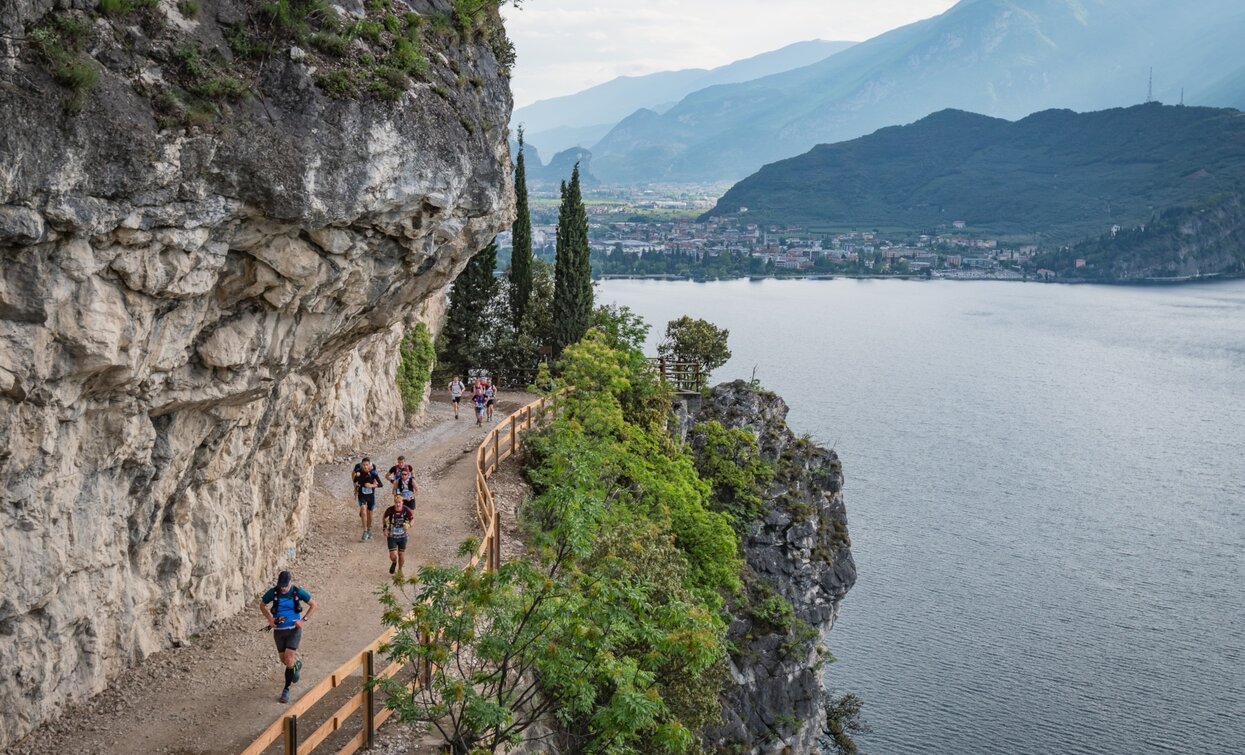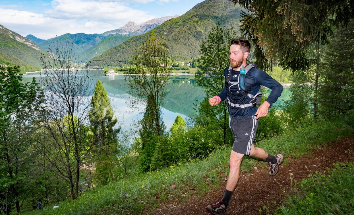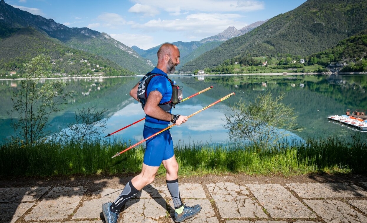
The original Garda Trentino Trail, the first trail running competition organized in Garda Trentino, was specifically designed to highlight the area's rich landscape.
The Garda Trentino Trail route changes from year to year: in odd years it has a counterclockwise sense of travel. The resulting track has a very varied ground, with many dirty roads alternating with single track sections. Generally the slopes are modest but there are also some steep stretches.
At the highest point of the route (Bocca Dromaé, m. 1685) you run along a path that cuts the summit of the Ledroi Alps at a high altitude. In this section there is a point that needs to be addressed carefully, especially if there are still areas covered by snow.
The length of the descents and climbs, compared to the editions of even years, is divided in shorter sections. The last 15km of the route are overlooking Lake Garda with continuous breathtaking views and are almost completely downhill, so that the 1200m of negative gradient is very simple and easy to run.


The Garda Trentino Trail is organized by the Garda Trentino Trail association.
For information on dates and registration: Grada Trentino Trail
Do not forget your camera!
Safety Tips
This information is subject to inevitable variations, so none of these indications are absolute. It is not entirely possible to avoid giving inexact or imprecise information, given how quickly environmental and weather conditions can change. For this reason, we decline any responsibility for changes which the user may encounter. In any case, it is advisable to check environment and weather conditions before setting out.
Emergency telephone number 112.
III Novembre Square in Riva del Garda, old Ponale road, Punta Larici viewpoint with the panoramic traverse till the wild Casarino Valley, Ledro lake, Bocca Dromaè/bocca Saval pass and Pernici Refuge at Ledrensi Alps, archeological site San Martino (Campi) , Borgo Canale medieval village, Tenno lake, Bocca di Tovo summit, Olivaia di Arco.
The main towns in Garda Trentino - Riva del Garda, Arco, Torbole sul Garda, Nago – are connected by several urban and intercity bus lines which will take you to the starting point of tours or in the immediate surroundings.
You can also get to Riva del Garda and Torbole sul Garda by the public ferry service.
Up-to-date information on timetables and routes: https://www.gardatrentino.it/en/plan-your-trip/local-mobility
Free parking near the former hospital (Via Rosmini).
Paid parking: Terme Romane (Viale Roma), Vecchia stazione (Largo Medaglie d’Oro), Ex-agraria (Via Lutti).
Trail running outings, however short, require specific clothing and equipment. Even on relatively short and easy outings, it is always best to be well equipped to avoid unpleasant surprises and to cope with unforeseen events such as a sudden storm or a drop in energy.
In your rucksack (for one of the proposed excursions a 5/12L is usually recommended) it is good to carry
Wear footwear/socks suitable for running in a natural environment/slopes/technical descents.

